
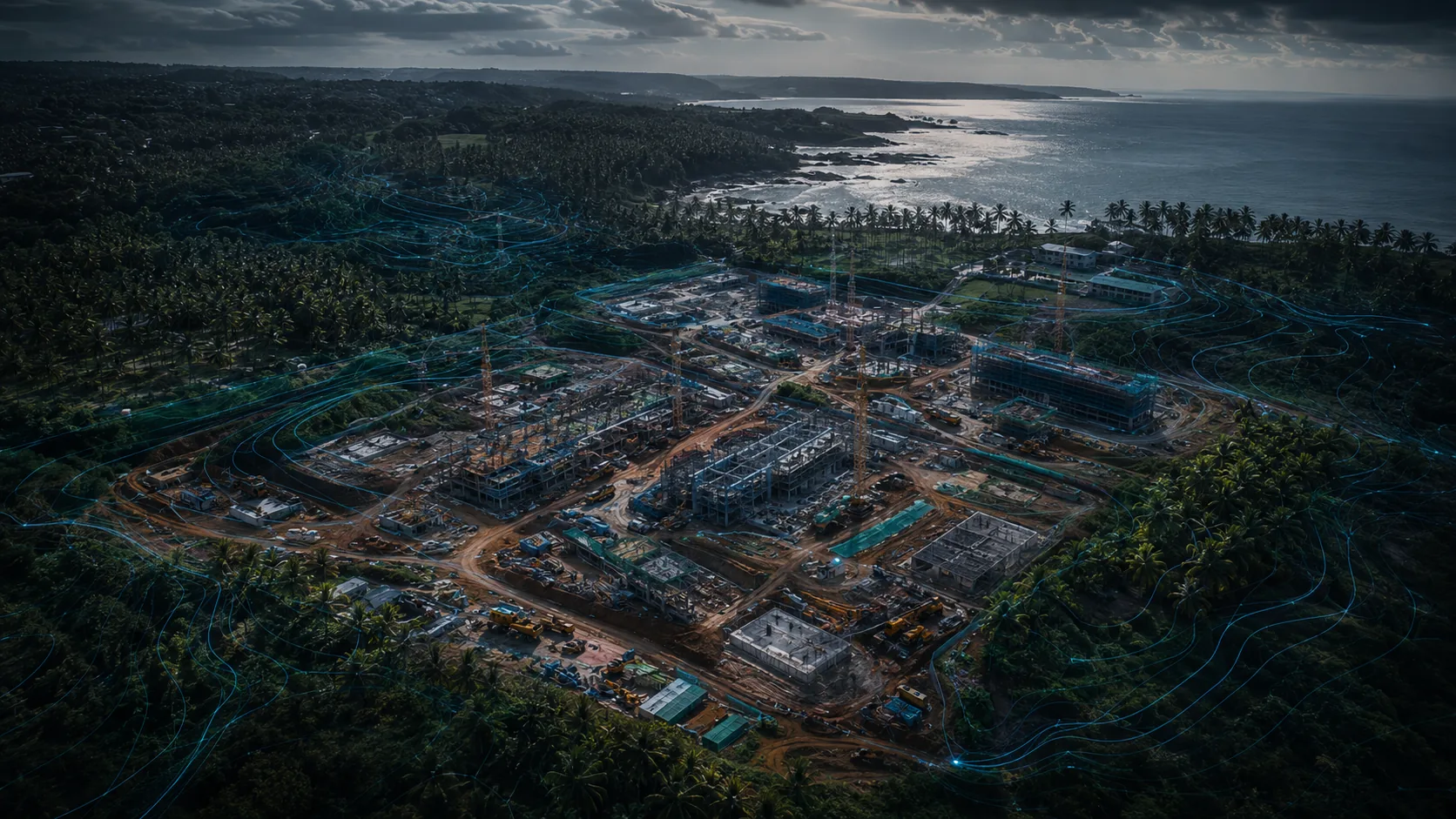
How Drones Are Used Across Sri Lankan Industries
Section overview · verified against official sources
Sector-by-sector knowledge about what drones actually do for Sri Lankan industries, the data they produce and the rules that apply.
Quick answer
Drones serve Sri Lankan industries mainly as data instruments: construction sites use mapping for progress and earthworks, plantations use aerial sensing for crop health and tree counts, insurers use imagery for damage assessment, utilities inspect towers and lines, and tourism uses aerial media. Every industrial use sits inside the standard approval framework, and each sector adds its own site, safety and privacy considerations.
How industry hubs are structured
Each planned industry hub explains the relevant use cases, the problems drones solve, the technology and data outputs involved, the limitations, and the regulatory, safety, privacy and procurement considerations for that sector. Industry pages are educational; they do not sell services or claim operational capability.
The first hubs on the roadmap cover construction, tea plantations and tourism, reflecting where drone value in Sri Lanka is most established. Agriculture is already covered in depth through the agricultural drones application guide.
In development
The following guides are on the editorial roadmap and will be published after official-source verification. They are not yet available.
- Drones in Construction
- Drones on Tea Plantations
- Drones in Tourism and Hotels