
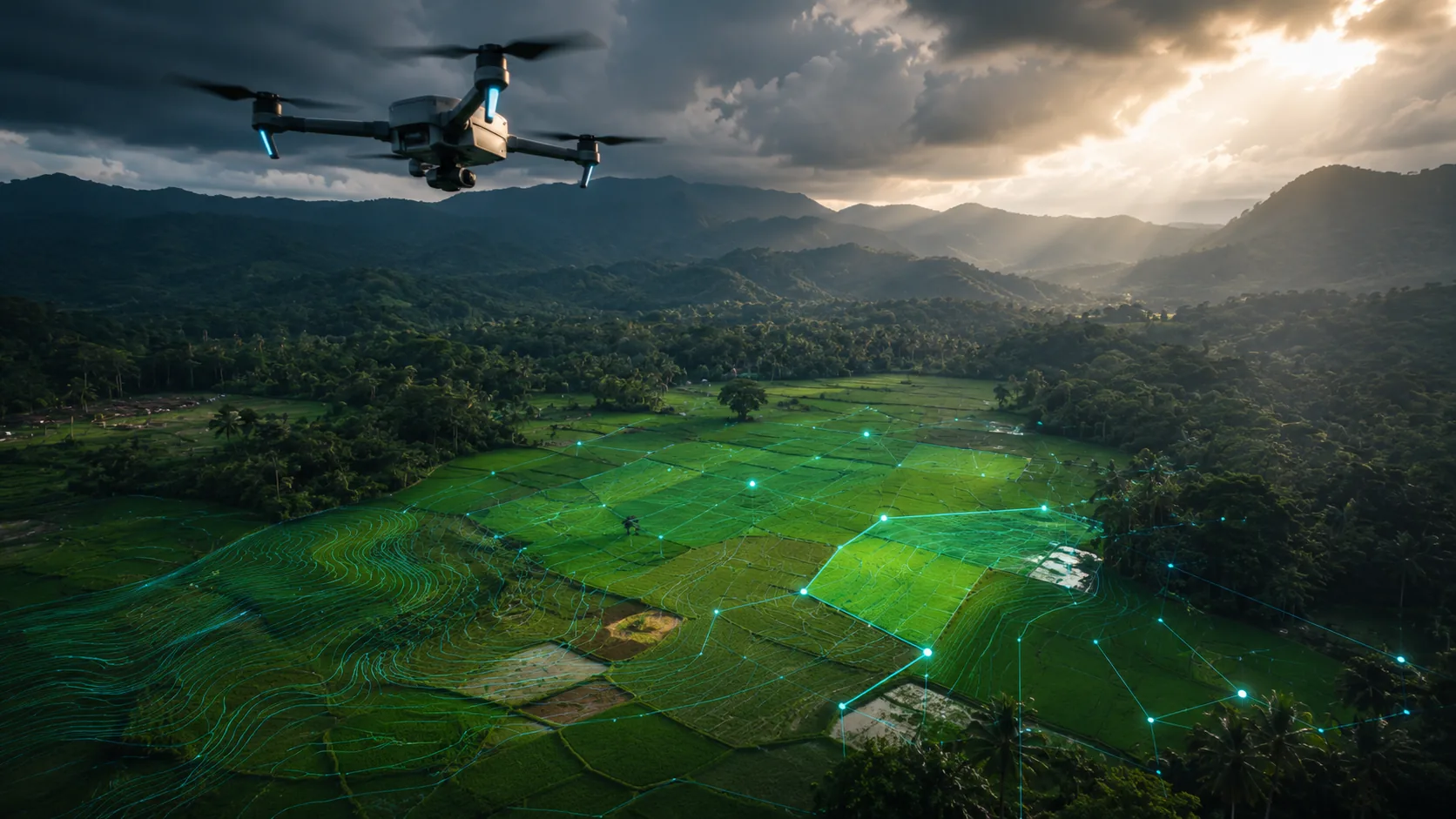
Drone Applications in Sri Lanka
2 published guides · verified against official sources
How drones are actually used, and what each application involves in a Sri Lankan context: the technology, the users, the benefits, the limitations and the rules.
How application guides are written
Each application guide explains what the application is, how it works, who uses it, the typical equipment and outputs, and the safety, privacy and regulatory considerations that apply in Sri Lanka. Status labels distinguish established uses from emerging ones, and nothing is described as authorised merely because the technology exists.
The catalogue will grow across photography and film, mapping and surveying, inspection, agriculture, environmental monitoring, public safety and logistics. The first guides cover aerial photography and agricultural drones.
Explore by application
Guides in this section
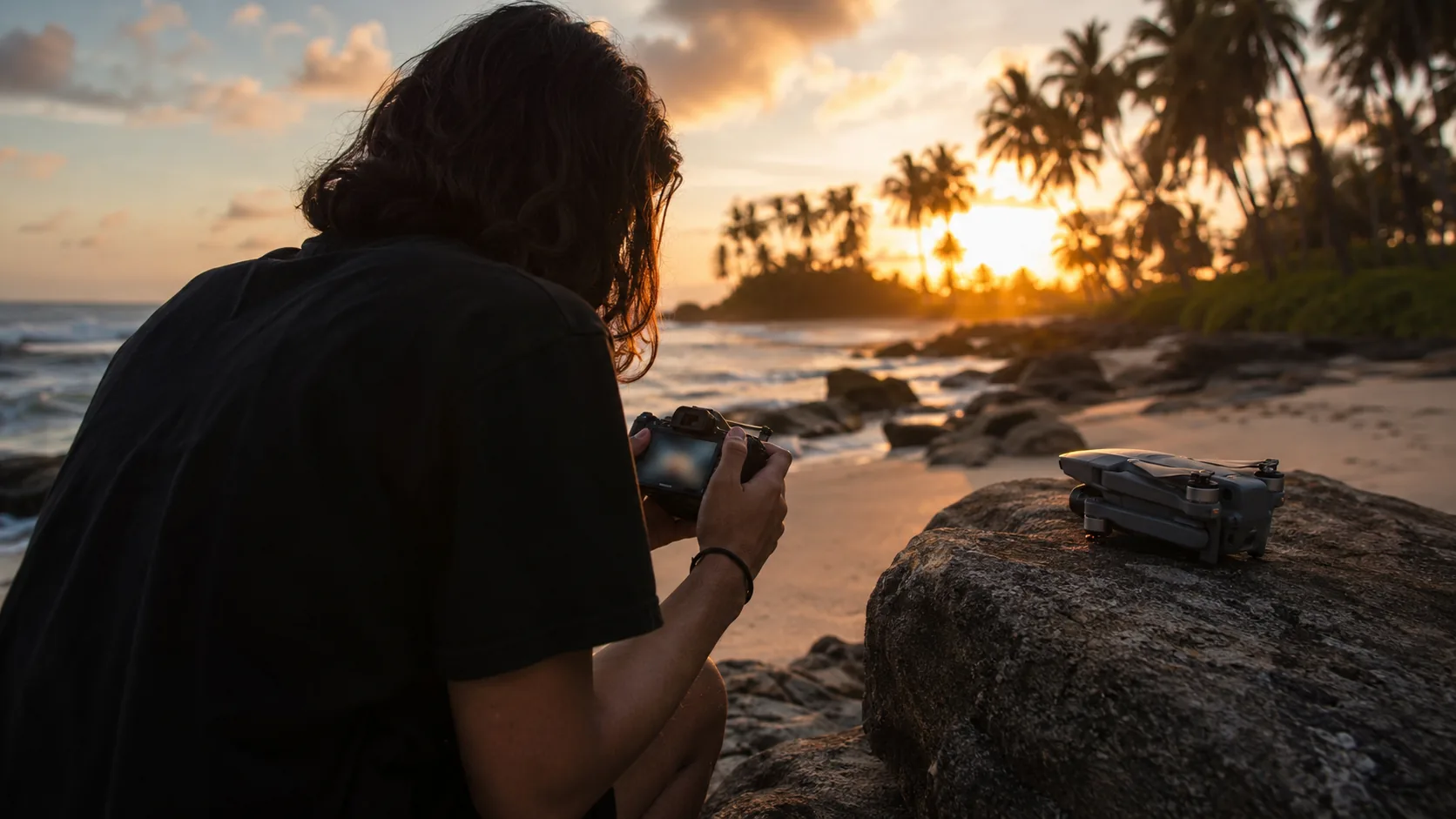
Drone Photography in Sri Lanka: An Educational Guide
How aerial photography works as a drone application in Sri Lanka: equipment, technique, the approval and privacy rules that shape it, and its status today.
Read the guideAgricultural Drones in Sri Lanka: An Educational Guide
How drones are used in agriculture and what that means for Sri Lanka: crop monitoring, multispectral imaging, spraying, plantations and the approval framework.
Read the guideIn development
The following guides are on the editorial roadmap and will be published after official-source verification. They are not yet available.
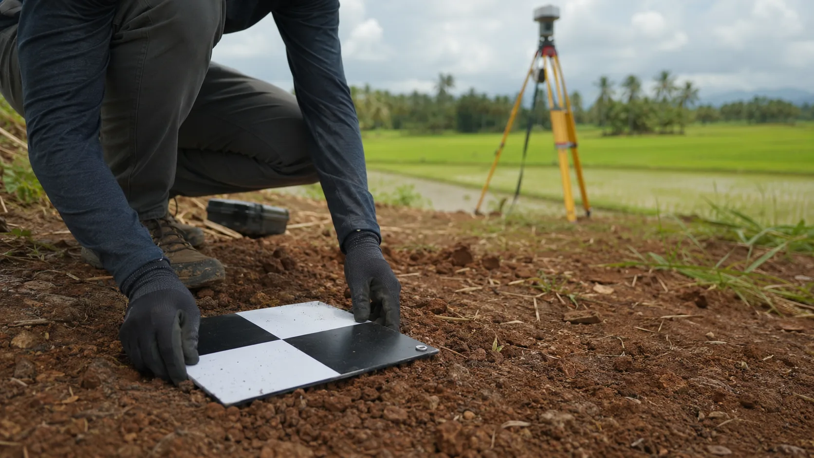
- Aerial Surveying
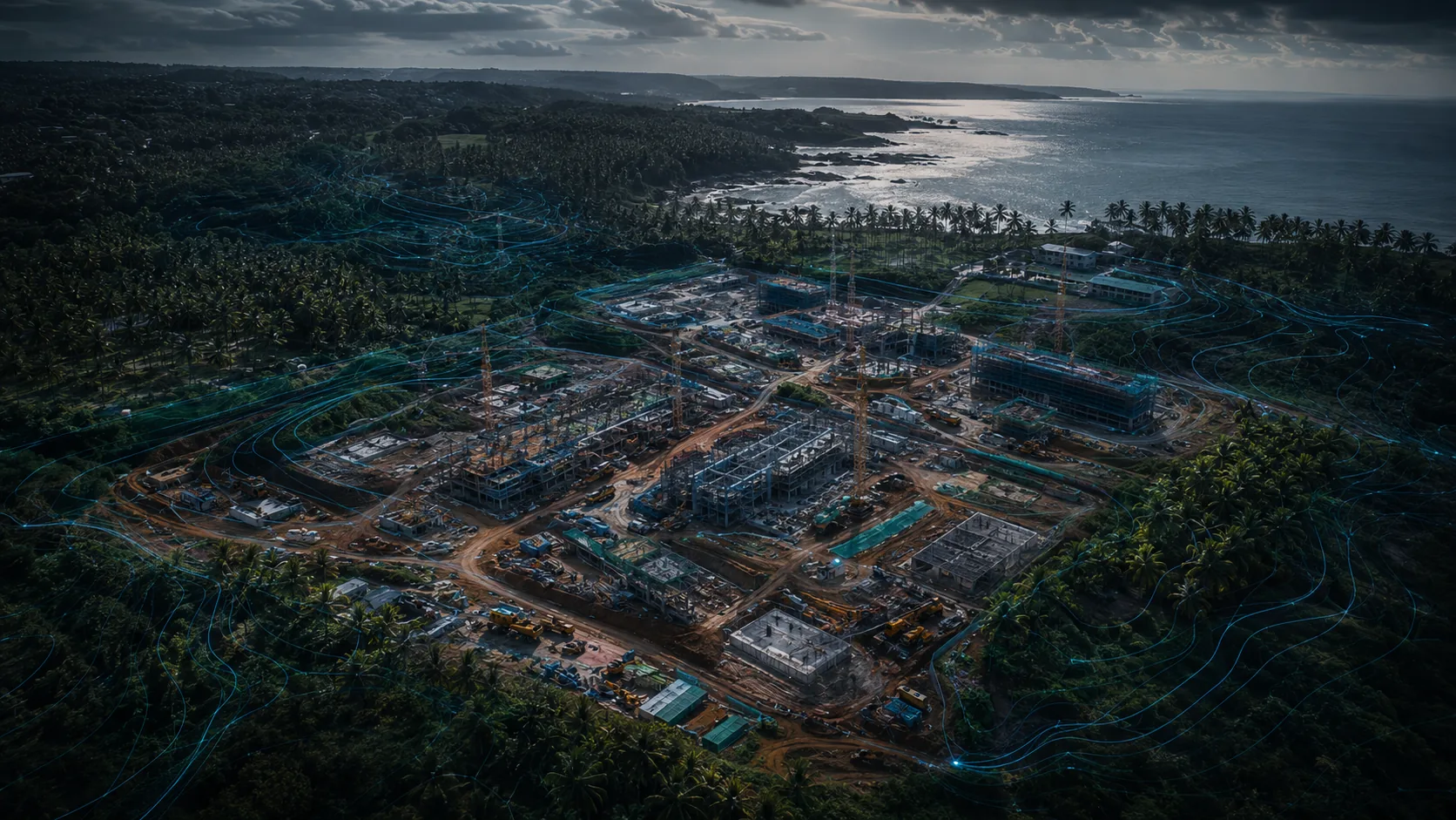
- Building and Roof Inspections
- Coastal and Erosion Monitoring
- Disaster Response and Flood Mapping