
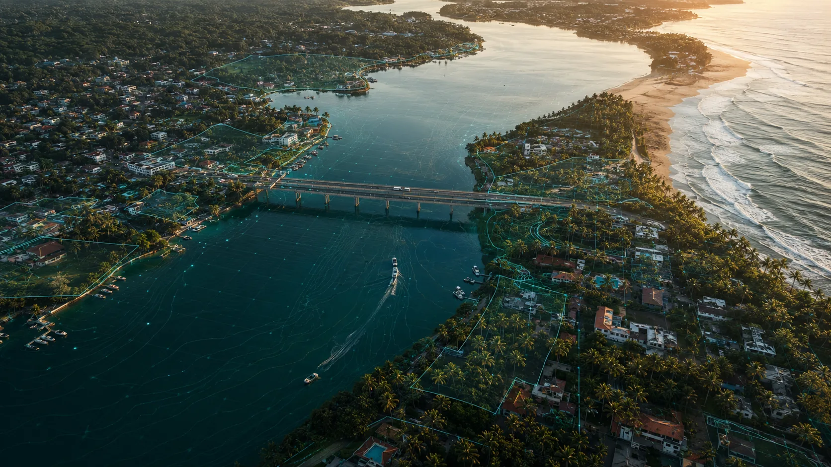
Drone Guidance by Location in Sri Lanka
21 published guides · verified against official sources
Location-specific drone guidance for Sri Lanka's most searched destinations: what makes each place distinctive, which authorities are involved and how to plan compliant flights.
Quick answer
Every location in Sri Lanka sits within the same national framework of registration, security clearance and CAASL approval, but each place adds its own layers: heritage protection at Sigiriya, Galle and Kandy, airport and port security in Colombo, wildlife in the parks and terrain in the hills. These guides explain the layers per location; the official maps and authorities remain the deciding word.
Location guides
Ella, Mirissa, Trincomalee, Yala and more are in development and publish after official-source verification.
Guides in this section
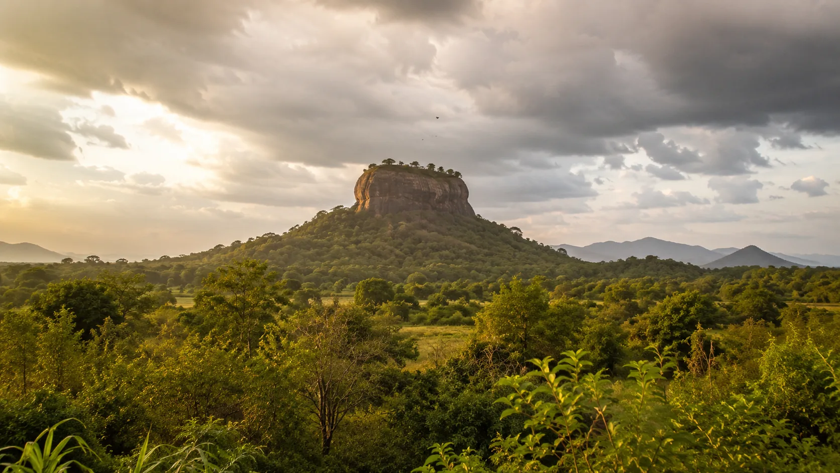
Flying a Drone at Sigiriya: What You Need to Know
Drone guidance for Sigiriya: why the rock fortress is a protected archaeological site, which permissions apply, and how to plan a compliant flight nearby.
Read the guide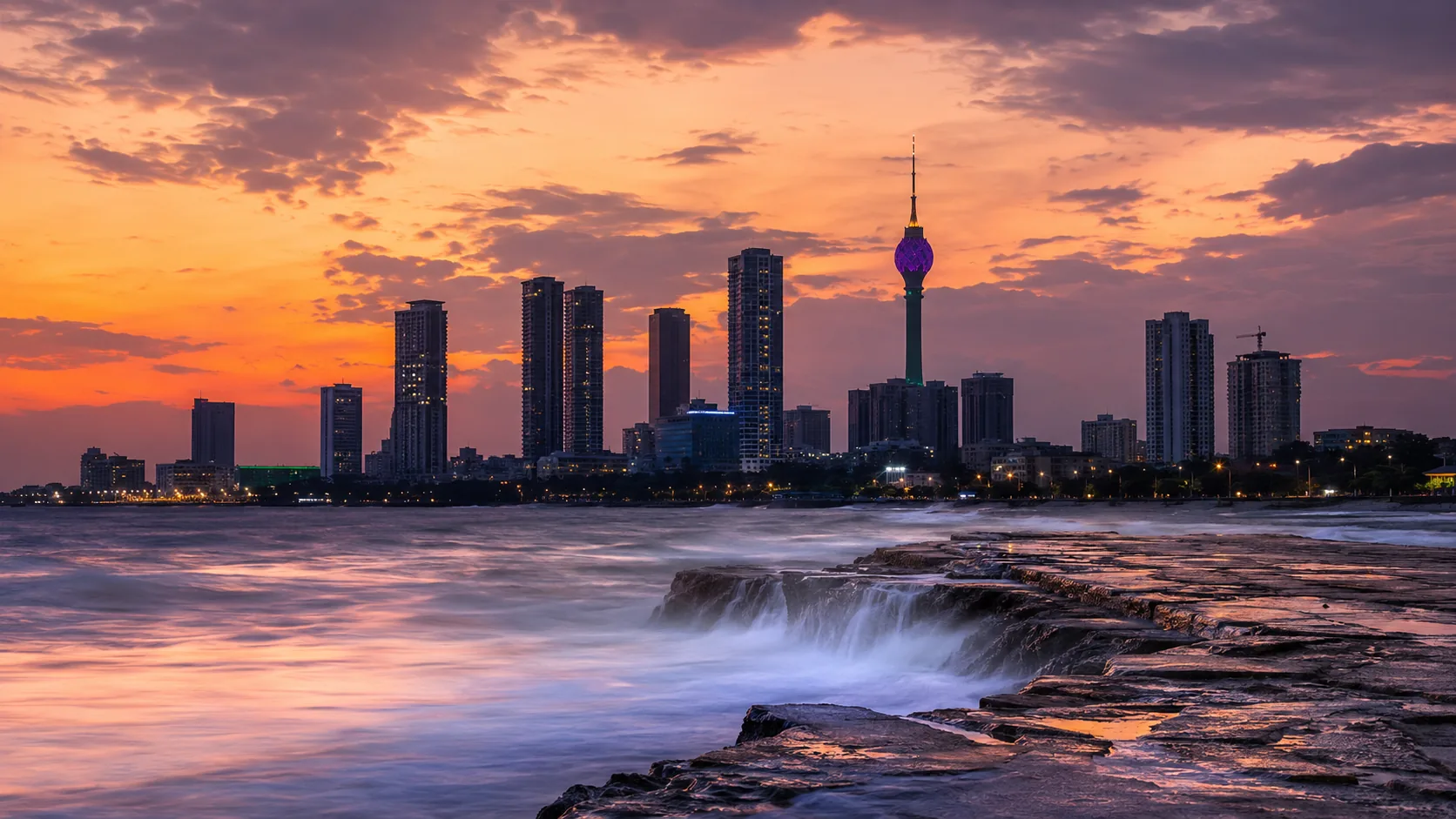
Flying a Drone in Colombo: What You Need to Know
Drone guidance for Colombo: Ratmalana airport, the port and naval areas, government districts, Port City and how the capital's zones affect flight planning.
Read the guide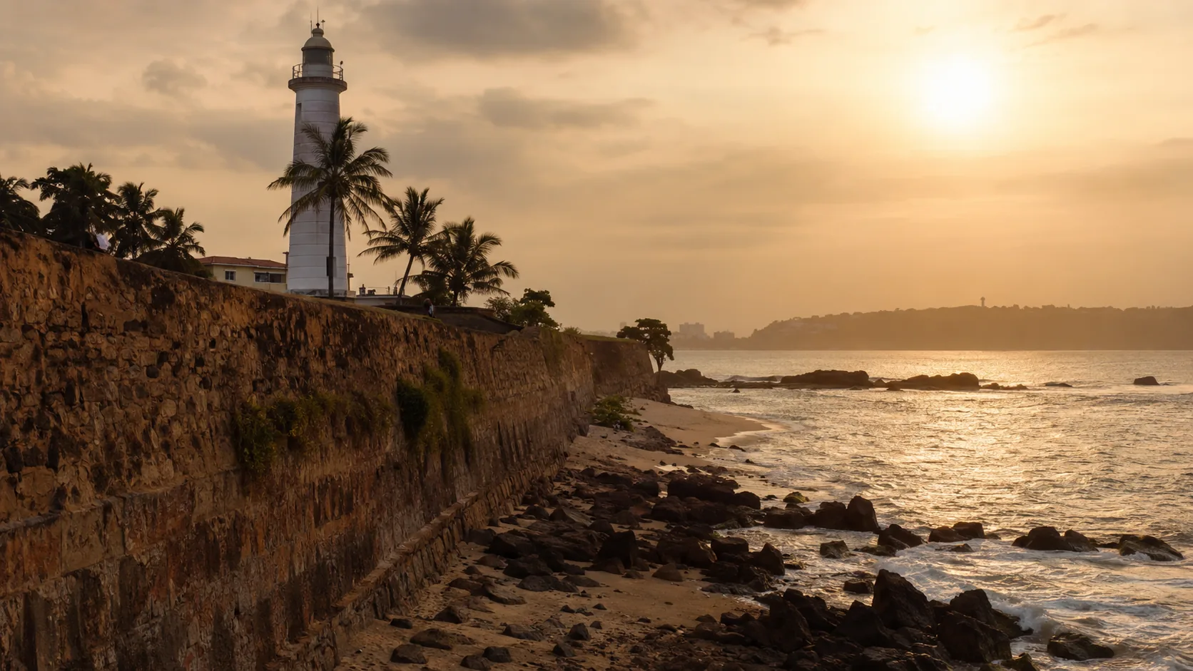
Flying a Drone in Galle: What You Need to Know
Drone guidance for Galle: the UNESCO-listed fort, the harbour, crowds on the ramparts, coastal weather and how to plan compliant flights on the south coast.
Read the guide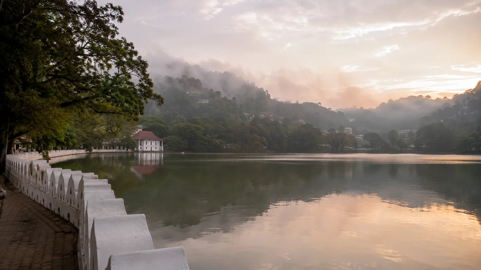
Flying a Drone in Kandy: What You Need to Know
Drone guidance for Kandy: the Temple of the Tooth and sacred city, the lake, crowds and festivals, hill-country terrain and how to plan compliant flights.
Read the guide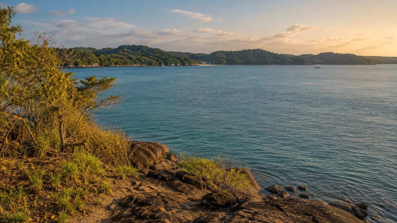
Flying a Drone in Trincomalee: What You Need to Know
Drone guidance for Trincomalee: the naval dockyard and China Bay airfield, Koneswaram and Fort Frederick, Pigeon Island and how the harbour shapes flight planning.
Read the guide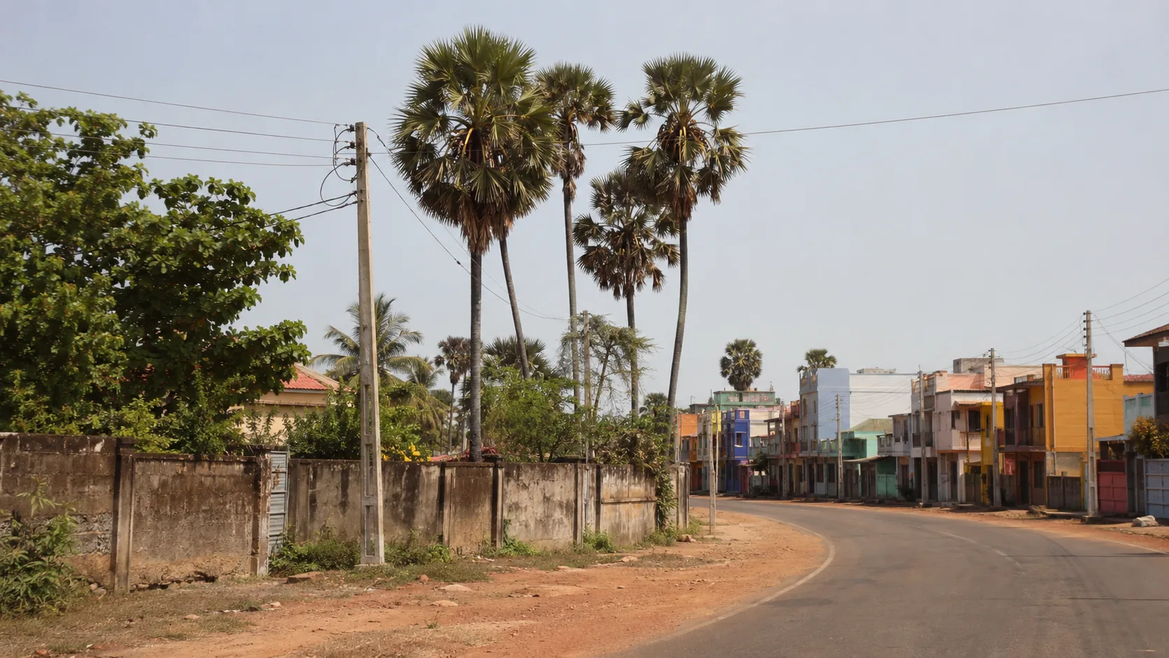
Flying a Drone in Jaffna: What You Need to Know
Drone guidance for Jaffna: Palaly airport, security sensitivities on the peninsula, Nallur and the Dutch fort, the lagoon and the islands.
Read the guide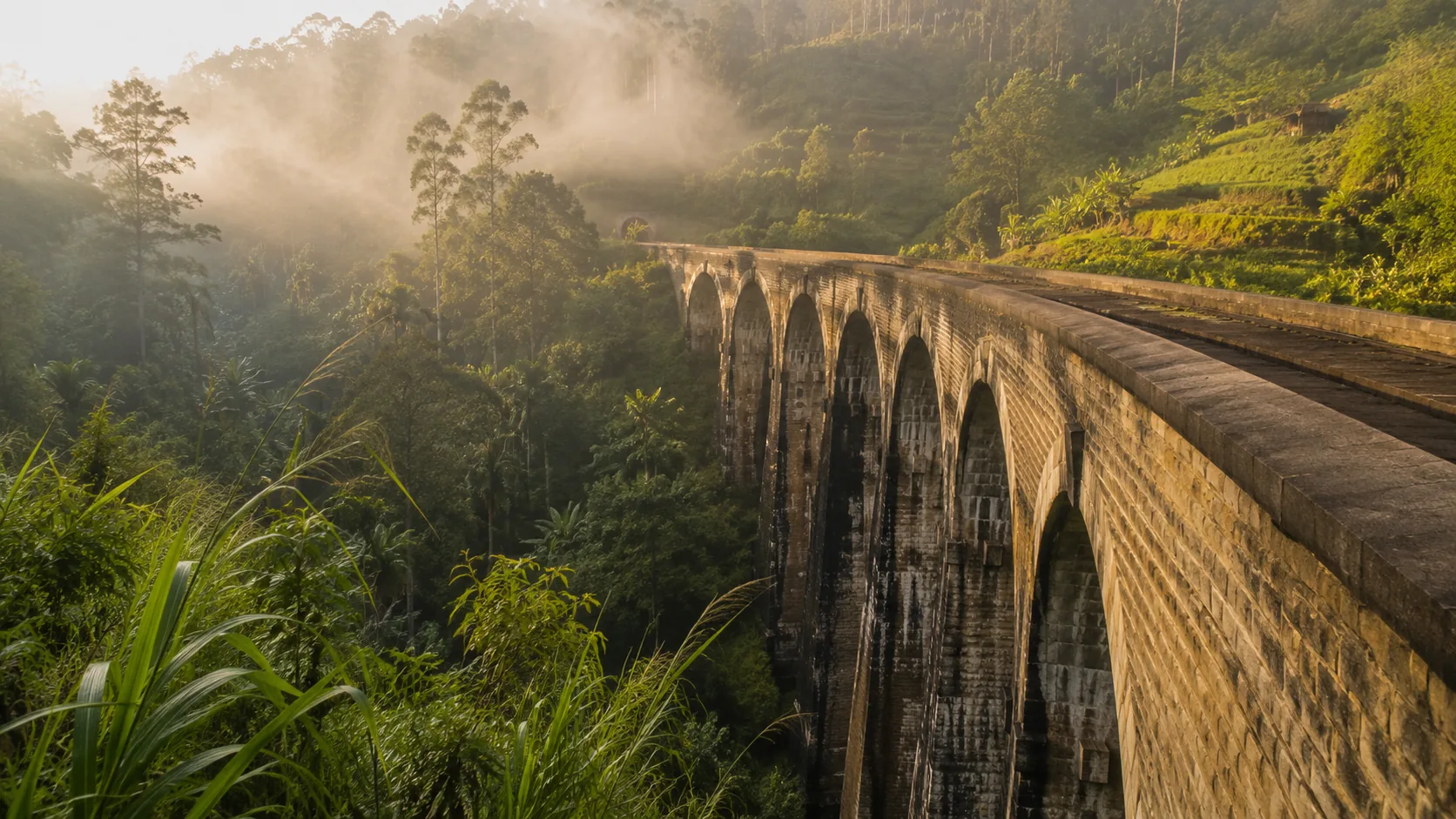
Flying a Drone in Ella: What You Need to Know
Drone guidance for Ella: the Nine Arch Bridge as active railway infrastructure, crowded viewpoints, tea estates, terrain and weather in the hills.
Read the guide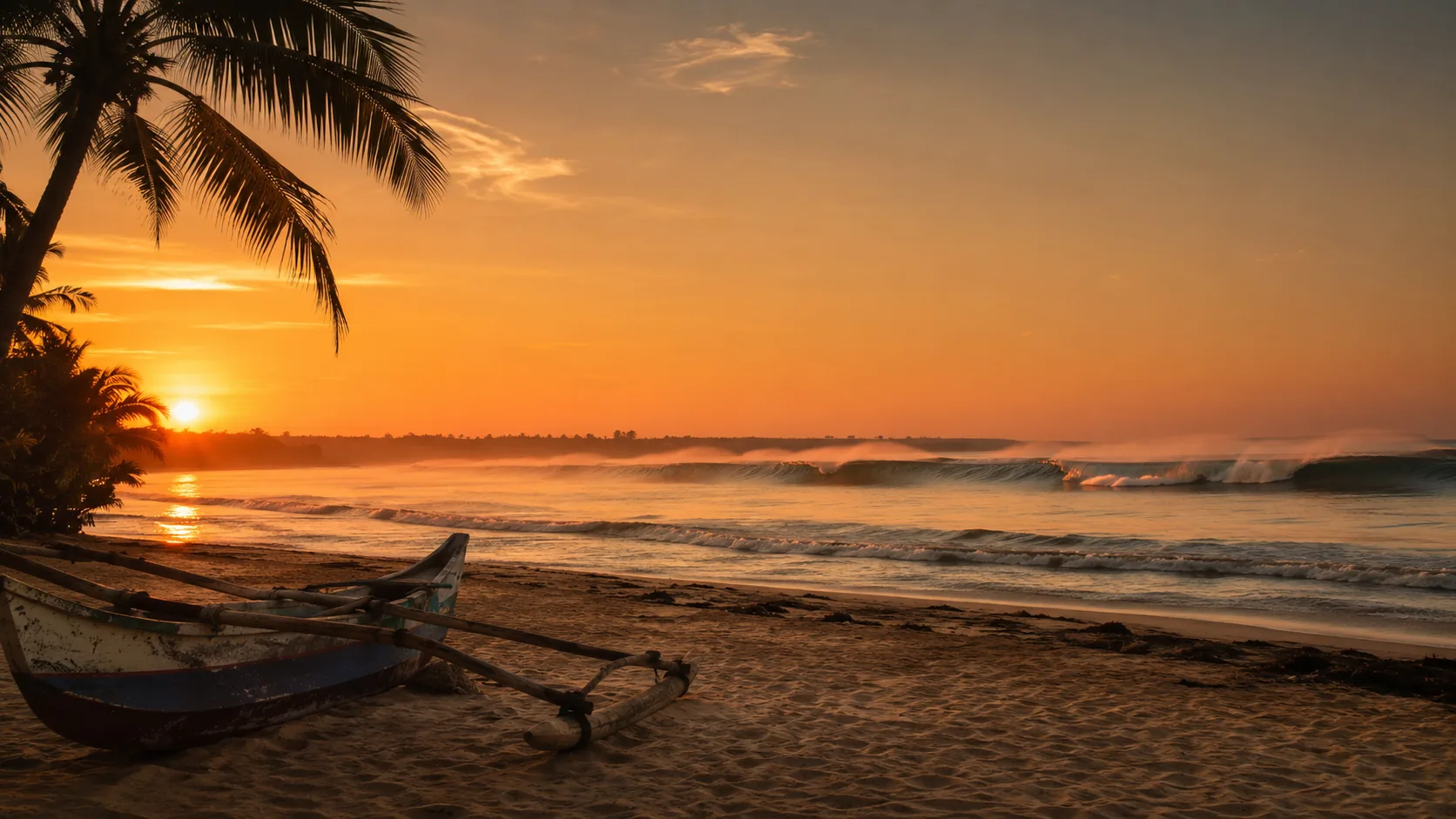
Flying a Drone in Arugam Bay: What You Need to Know
Drone guidance for Arugam Bay: surfers in the lineup, Kumana and Lahugala national parks, Pottuvil lagoon birdlife and the east coast season.
Read the guide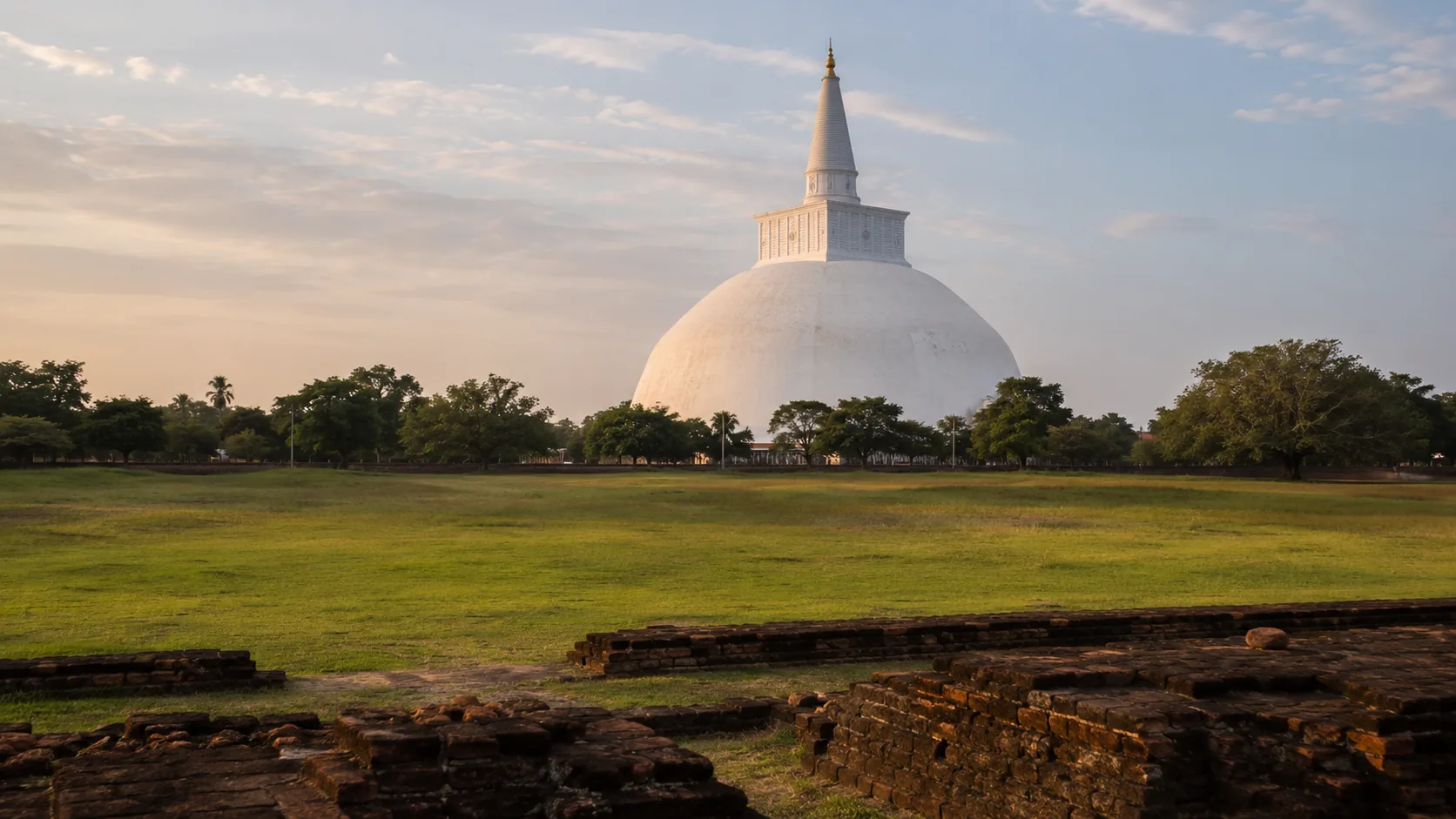
Flying a Drone in Anuradhapura: What You Need to Know
Drone guidance for Anuradhapura: the UNESCO sacred city, the Department of Archaeology, active worship at Sri Maha Bodhi and air force activity in the region.
Read the guide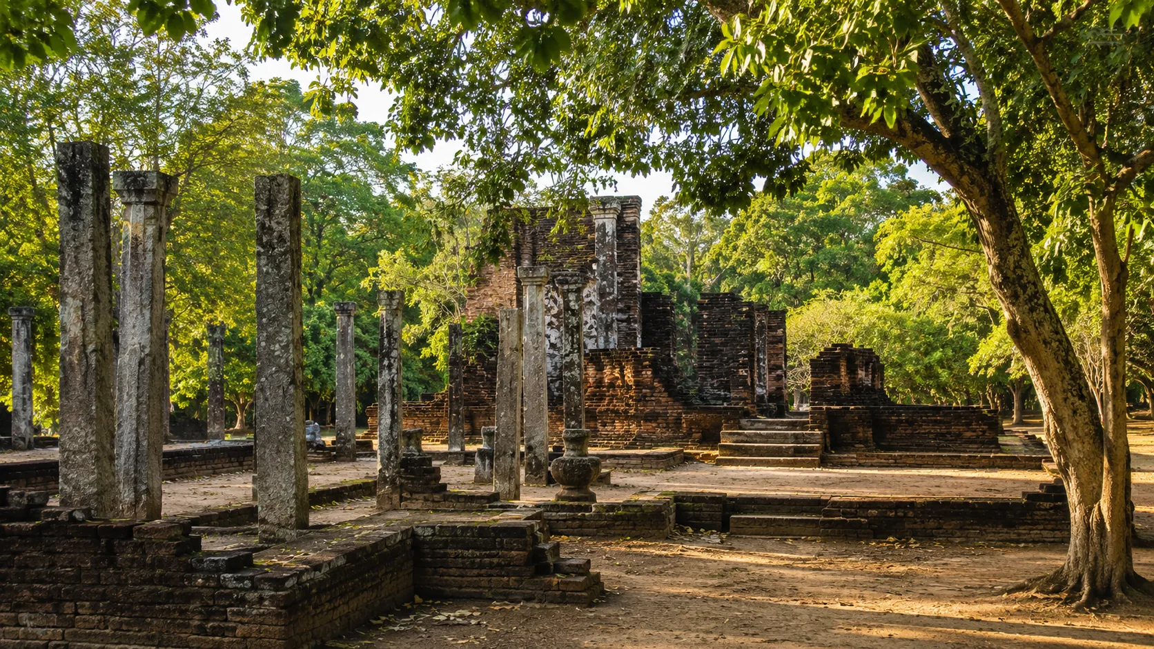
Flying a Drone in Polonnaruwa: What You Need to Know
Drone guidance for Polonnaruwa: the UNESCO ancient city, departmental permissions, Parakrama Samudra and the elephant landscapes nearby.
Read the guide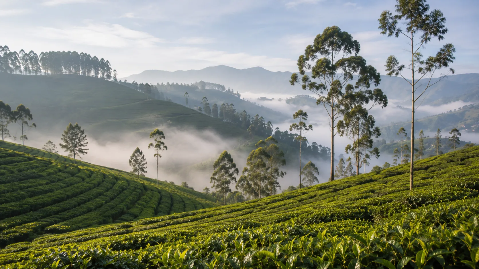
Flying a Drone in Nuwara Eliya: What You Need to Know
Drone guidance for Nuwara Eliya: flying at nearly two kilometres of elevation, tea estates as private land, Gregory Lake crowds and Horton Plains nearby.
Read the guide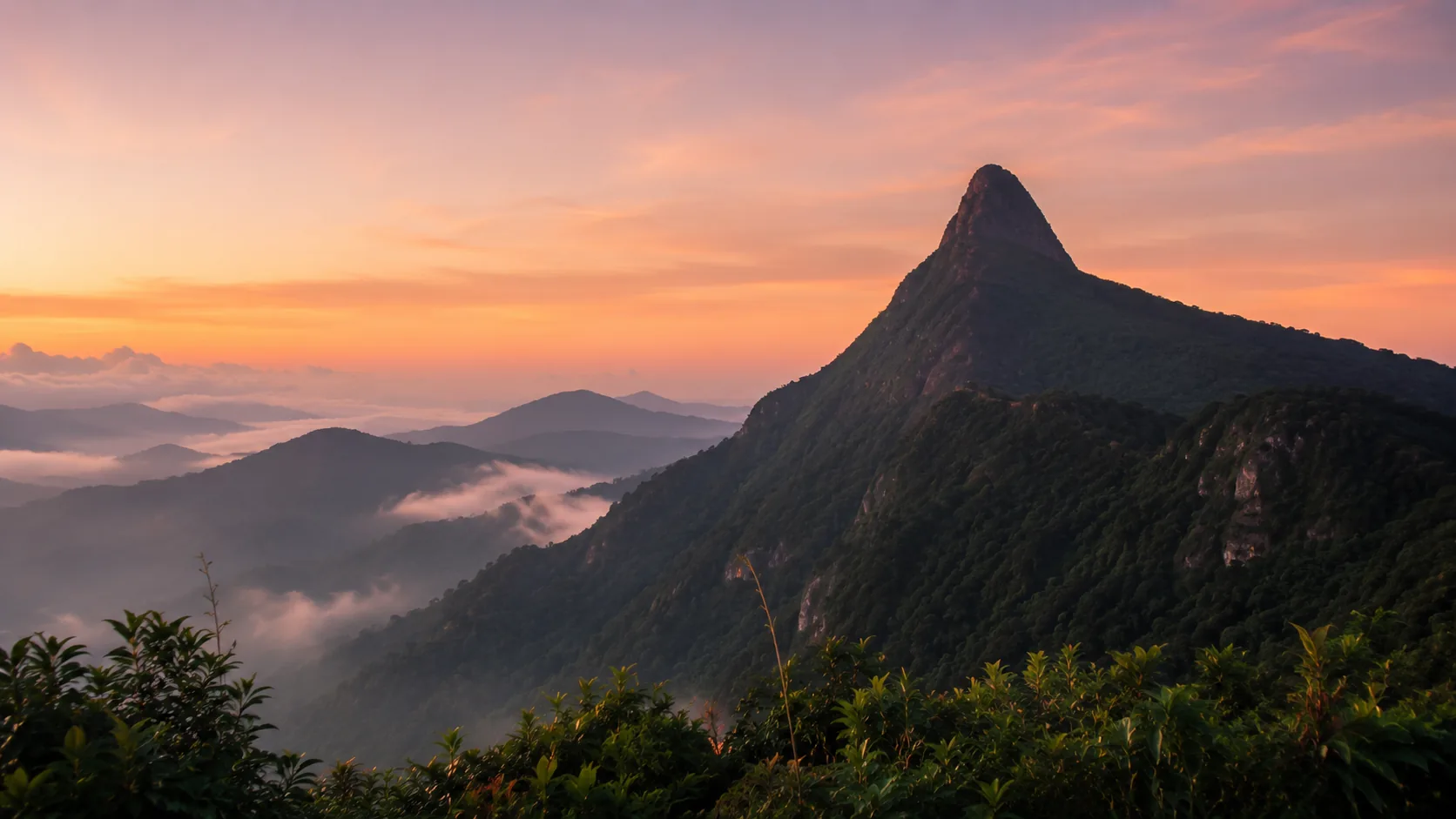
Flying a Drone at Adam's Peak: What You Need to Know
Drone guidance for Adam's Peak: a mountain sacred to several faiths, the Peak Wilderness Sanctuary, pilgrimage season crowds and mountain weather.
Read the guide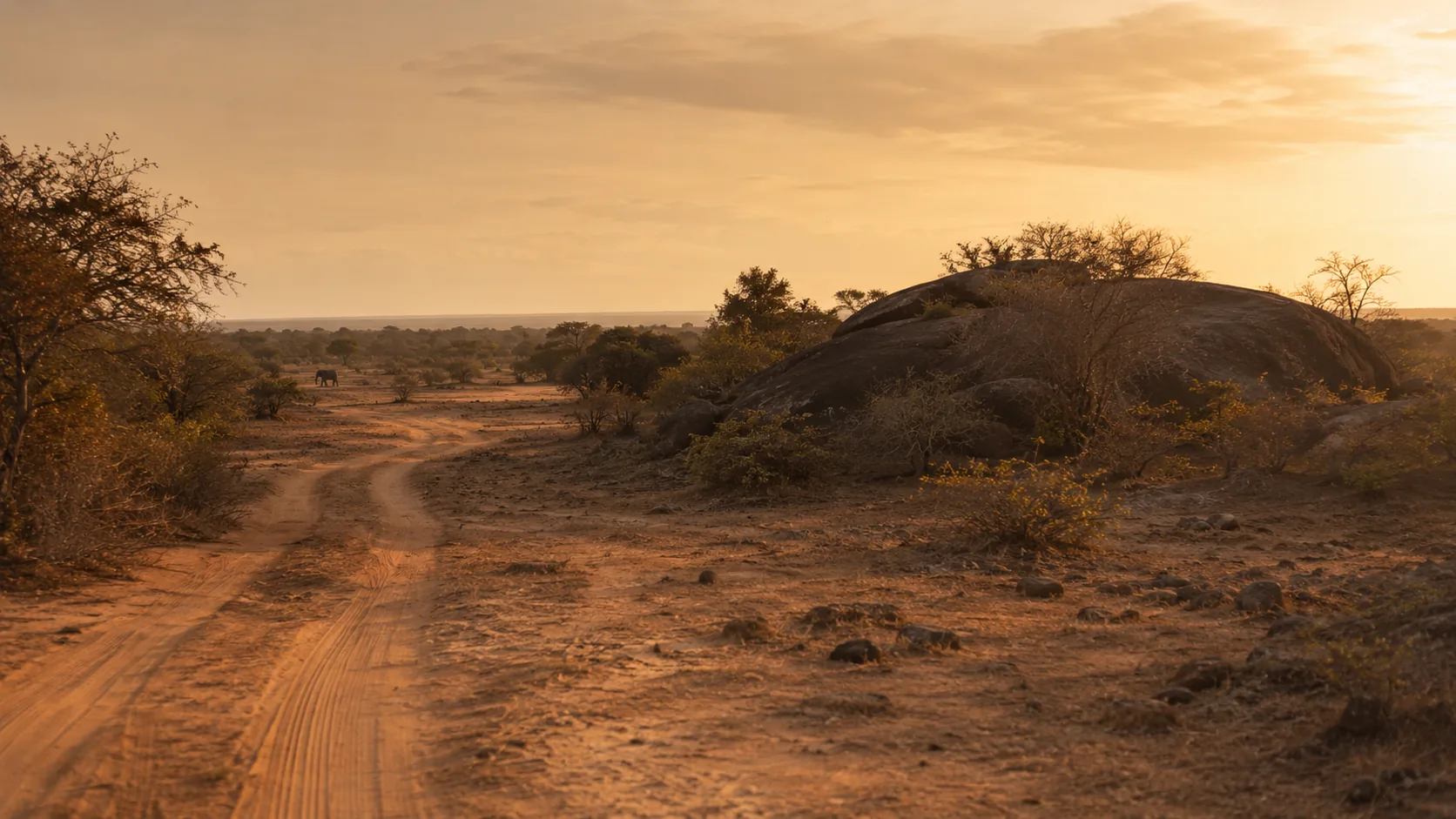
Flying a Drone at Yala: What You Need to Know
Drone guidance for Yala: why national parks sit under the Department of Wildlife Conservation, what that means for drones, and how the park's wildlife changes the calculation.
Read the guide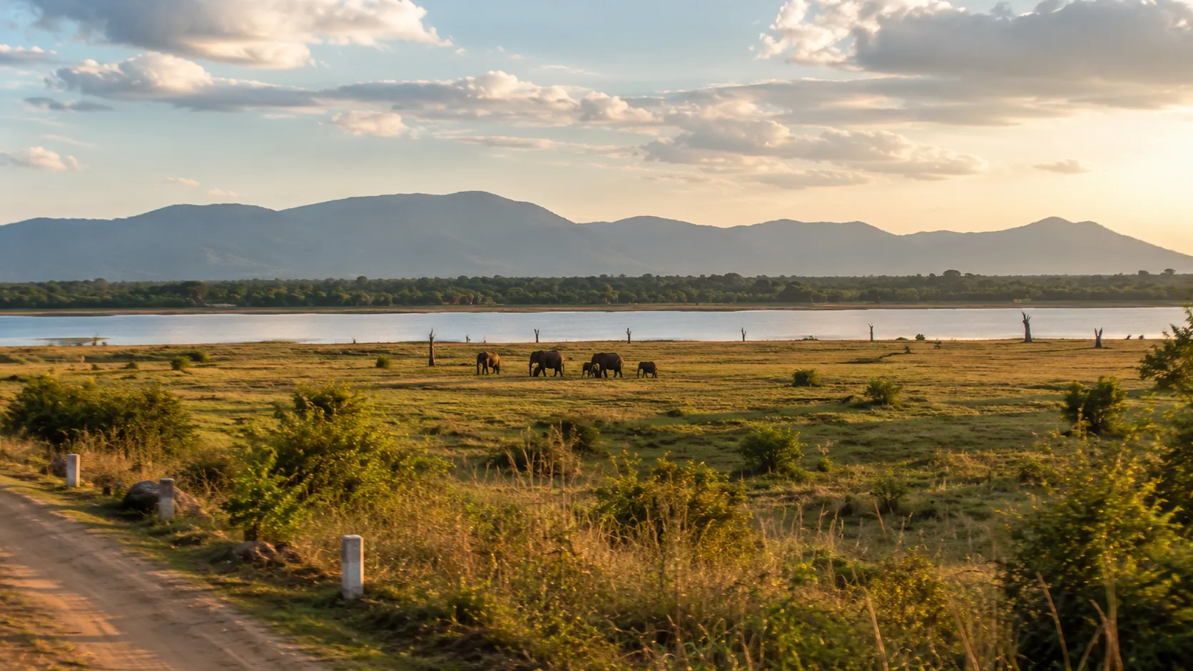
Flying a Drone at Udawalawe: What You Need to Know
Drone guidance for Udawalawe: the national park's elephants, the Elephant Transit Home, the reservoir and where the standard rules resume outside the boundary.
Read the guide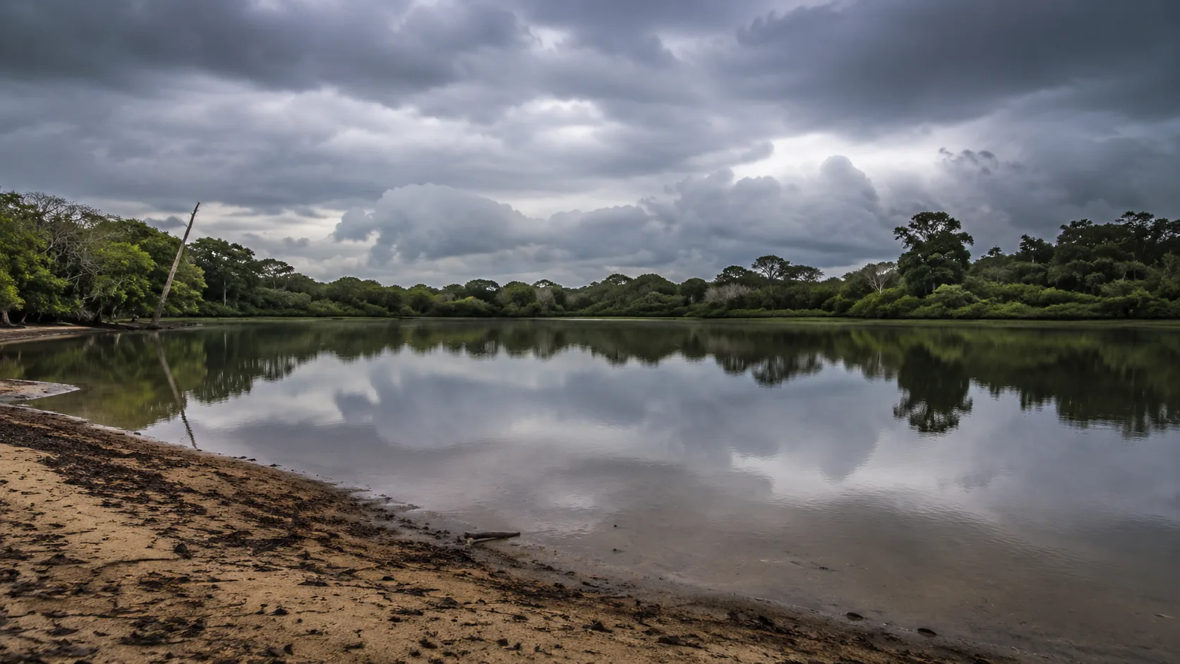
Flying a Drone at Wilpattu: What You Need to Know
Drone guidance for Wilpattu: Sri Lanka's largest national park, its villu lakes and leopards, and the practicalities of the remote northwest.
Read the guide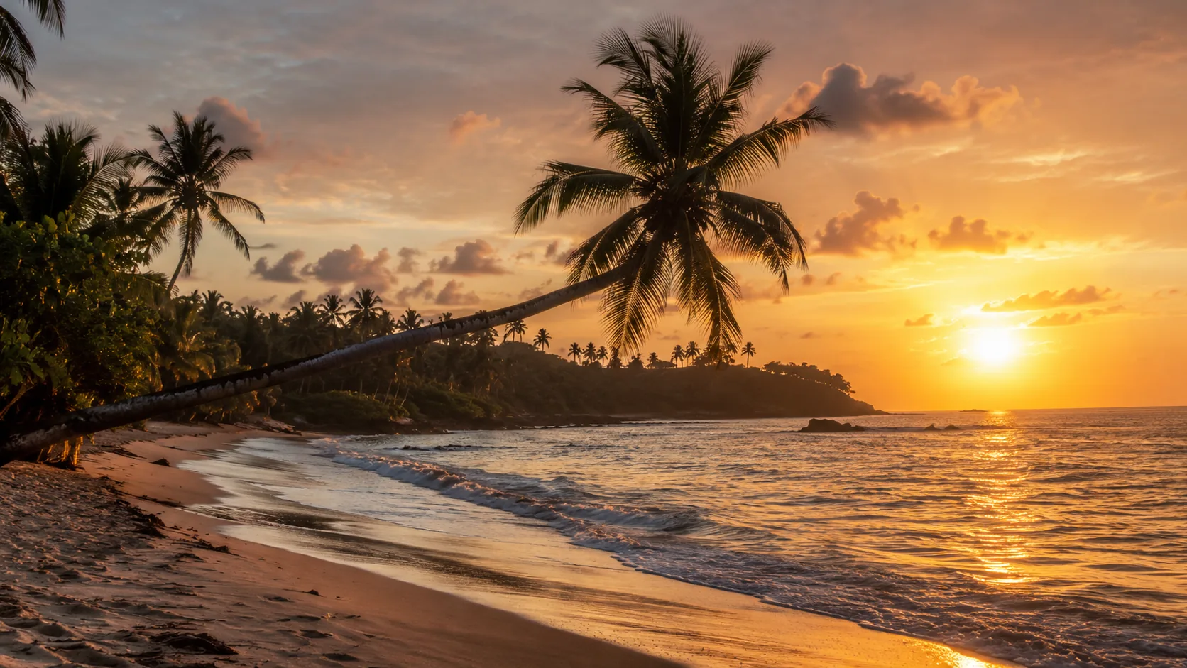
Flying a Drone in Mirissa: What You Need to Know
Drone guidance for Mirissa: beach crowds, the fishing harbour, whale-watching offshore and the Koggala airfield along the coast to the west.
Read the guide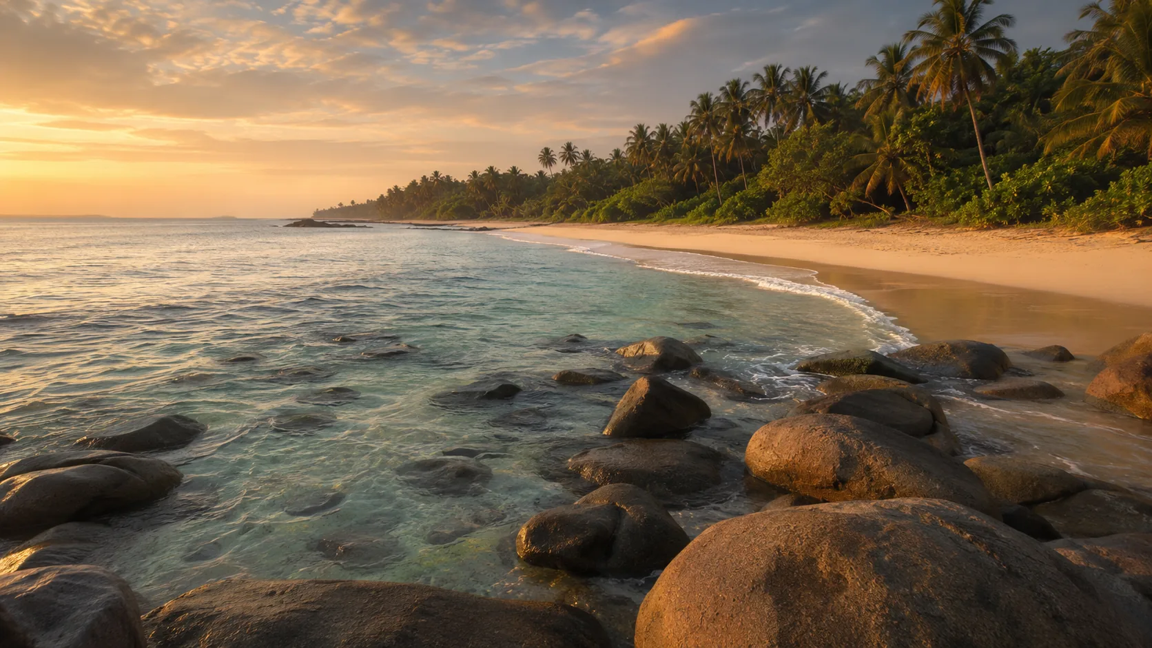
Flying a Drone in Tangalle: What You Need to Know
Drone guidance for Tangalle: the quiet coves, Rekawa's turtle nesting beach, Mulkirigala rock temple and the Hummanaya blowhole.
Read the guide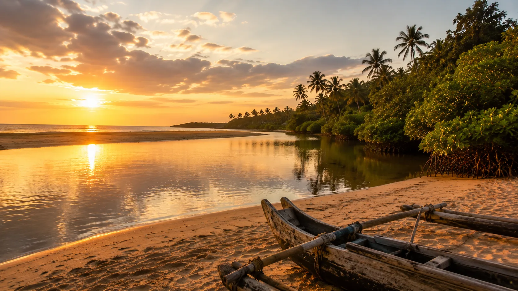
Flying a Drone in Bentota: What You Need to Know
Drone guidance for Bentota: the resort beach, the river mouth and mangroves, water-sports traffic and turtle hatcheries along the coast.
Read the guide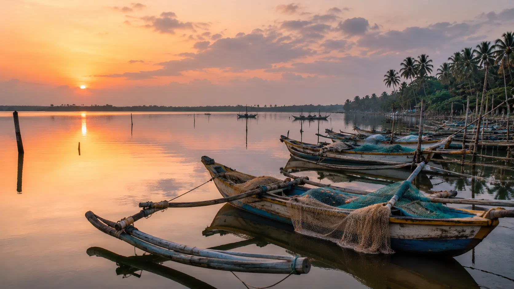
Flying a Drone in Negombo: What You Need to Know
Drone guidance for Negombo: why proximity to Bandaranaike International Airport dominates everything, plus the lagoon, the fish market and the canal town.
Read the guide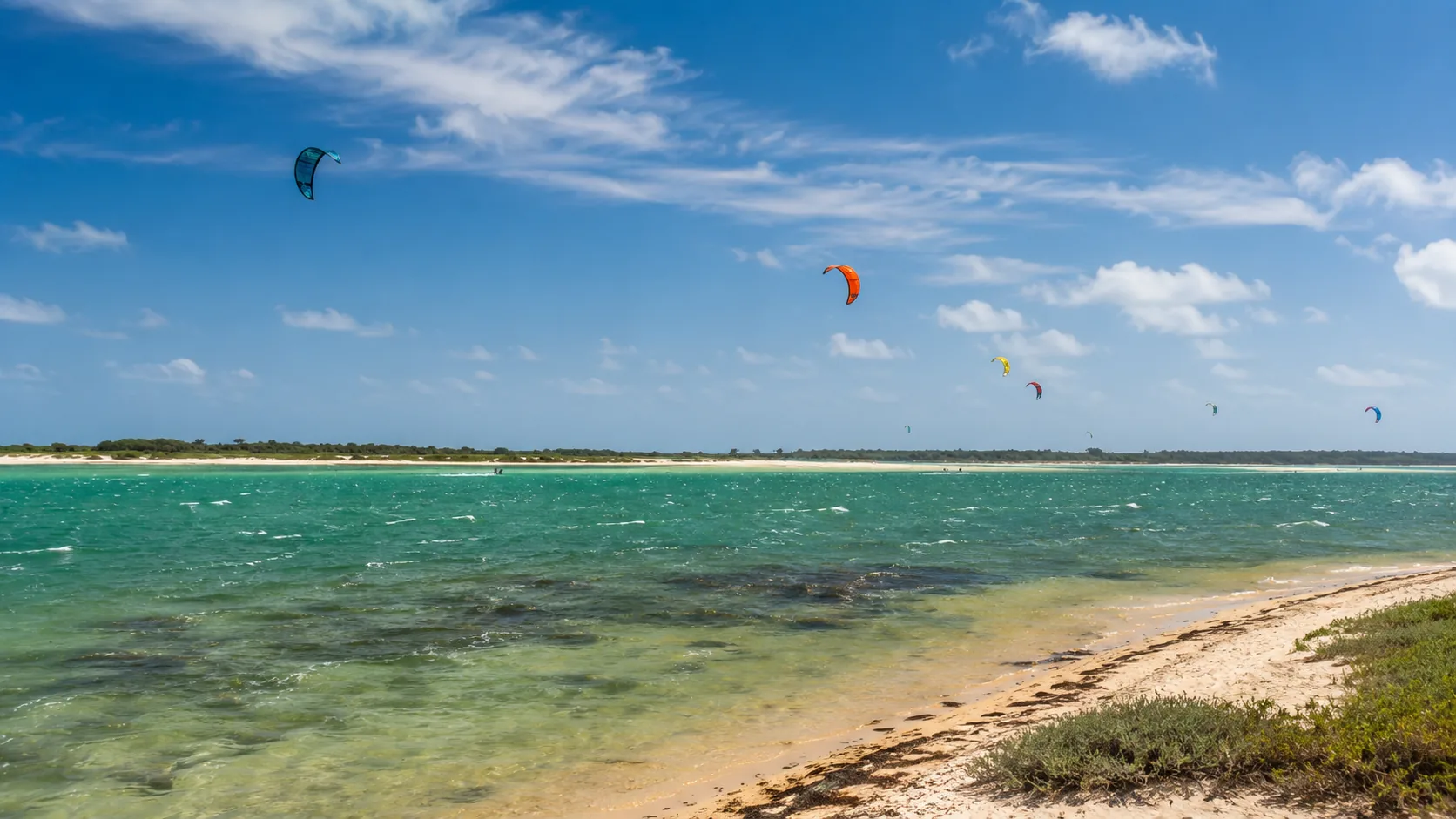
Flying a Drone in Kalpitiya: What You Need to Know
Drone guidance for Kalpitiya: sharing air with kitesurfers, the naval presence on the peninsula, Bar Reef and the dolphin waters, and the wind itself.
Read the guide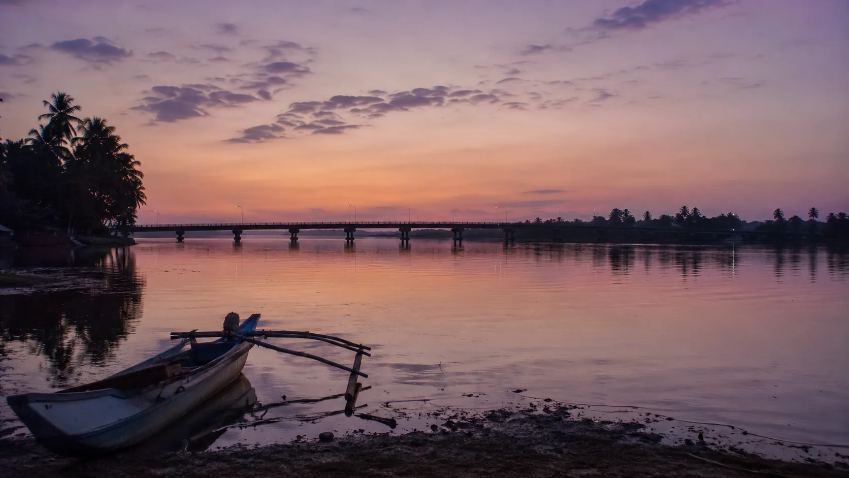
Flying a Drone in Batticaloa: What You Need to Know
Drone guidance for Batticaloa: the airport on the town's edge, the great lagoon and its bridges, the Dutch fort and the beaches at Pasikuda.
Read the guide