Flying a Drone in Polonnaruwa: What You Need to Know
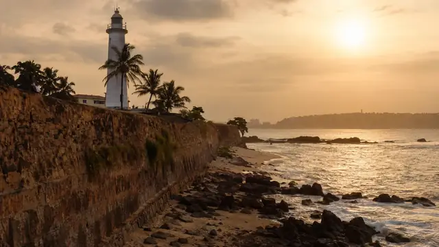
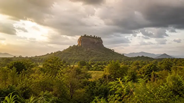
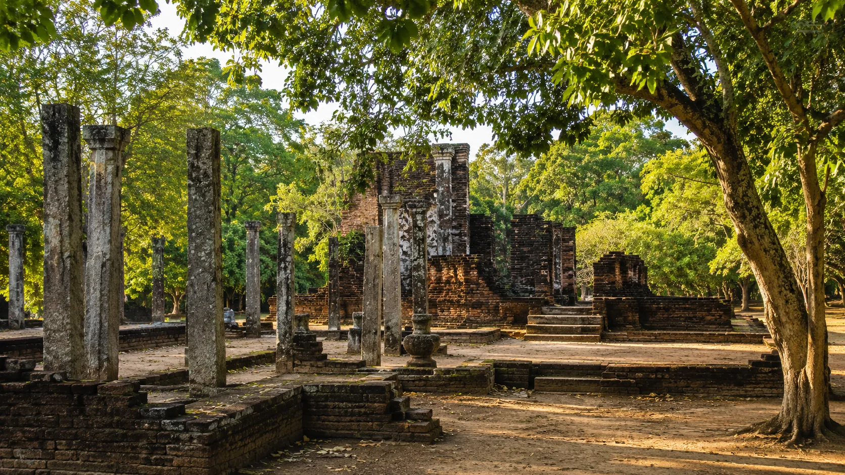
Illustrative imagery for geographical context. It does not indicate that drone operation is permitted at this location.
Last verified 2026-07-19 · Department of Archaeology, with CAASL, the MOD and the DWC
Drone guidance for Polonnaruwa: the UNESCO ancient city, departmental permissions, Parakrama Samudra and the elephant landscapes nearby.
By the Sri Lanka Drone Editorial Team · Last reviewed 19 July 2026
Quick answer
Polonnaruwa's ancient city is a UNESCO World Heritage site under the Department of Archaeology, so drone flights over the monuments require a departmental no-objection alongside the MOD security clearance and CAASL operation approval. The Parakrama Samudra reservoir frames the town, and the surrounding region includes Minneriya and Kaudulla national parks, whose elephant gatherings sit under Department of Wildlife Conservation protection. Check the CAASL Drone Zone Map for exact coordinates and treat the ancient city and the parks as separate permission problems.
- Responsible authority
- Department of Archaeology, with CAASL, the MOD and the DWC
- Who this applies to
- Operators and visitors around the Polonnaruwa ancient city and the nearby park landscape.
- Verification status
- verified against official source
- Last verified
- 19 July 2026
- Last reviewed
- 19 July 2026
The ancient city is departmental territory
The Gal Vihara Buddhas, the Vatadage and the palace complex form one of the country's most important archaeological ensembles, and CAASL's guidance requires a Department of Archaeology no-objection for flights over such sites. Visitor crowds move through the ruins all day, engaging the rule against overflying people, so even permitted work will carry timing conditions.
The elephant gatherings are a separate question
Minneriya and Kaudulla, a short drive north, host some of the largest wild elephant gatherings anywhere. They are national parks under the Department of Wildlife Conservation, drone use requires the department's permission, and disturbing wildlife is an offence. The famous aerial shots of the gathering that circulate online should not be read as evidence that flying there is generally allowed.
Planning around Polonnaruwa
For project work in the ancient city, run the departmental, MOD and CAASL applications in parallel with precise flight plans. For everything else, check the zone map for the exact coordinates, keep away from the monuments and the park boundaries, and treat the reservoir's birdlife with the same care as the parks.
Frequently asked questions
Can I fly a drone over the Polonnaruwa ruins?
Only with a Department of Archaeology no-objection, an MOD clearance and a CAASL approval covering the site and dates.
Is the Minneriya elephant gathering open to drones?
It is a national park under the DWC; drone use requires the department's permission and disturbing the elephants is an offence.
Does Parakrama Samudra have restrictions?
Check the zone map for the exact coordinates; reservoirs and their surroundings can carry their own considerations, and the shoreline draws birdlife and people.
Spotted outdated or incorrect information? Suggest a correction.