
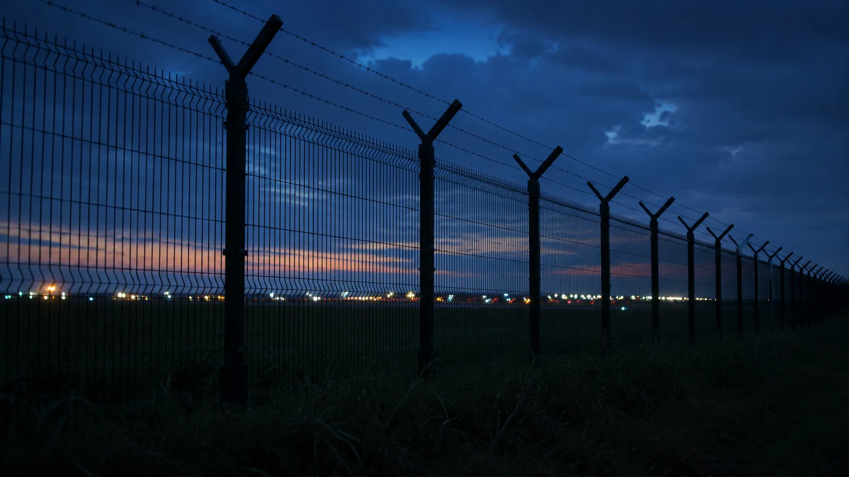
Drone Restricted Areas and No-Fly Zones in Sri Lanka
3 published guides · verified against official sources
Where drones cannot fly in Sri Lanka, and why: airports, military and security sites, protected infrastructure, heritage locations and wildlife areas.
Quick answer
Sri Lanka restricts drone activity around airports and helipads, military and security-sensitive locations, prisons, power plants and protected infrastructure, and controls heritage and wildlife sites through separate authorities. Aviation, security, archaeology, wildlife, landowner, privacy and site-management requirements can all apply separately at a single location, which is why checking the official maps and completing the approval process matters everywhere.
The five restriction layers
Aviation
Airports, helipads and controlled airspace. No-fly under CAASL operating rules.
Layer 1 of 5
Security
Military installations, ports and government security areas. Clearance-driven; often prohibited.
Layer 2 of 5
Archaeology
Protected monuments and reserves. No-objection from the Department of Archaeology may be required.
Layer 3 of 5
Wildlife
National parks and reserves under the DWC or Forest Department, with their own permissions.
Layer 4 of 5
People and property
No overflying assemblies, no recording people without permission, respect private property.
Layer 5 of 5
A location can sit in several layers at once. Each layer can add its own authority and its own permission on top of the standard CAASL process.
How the layers stack
Guides in this section
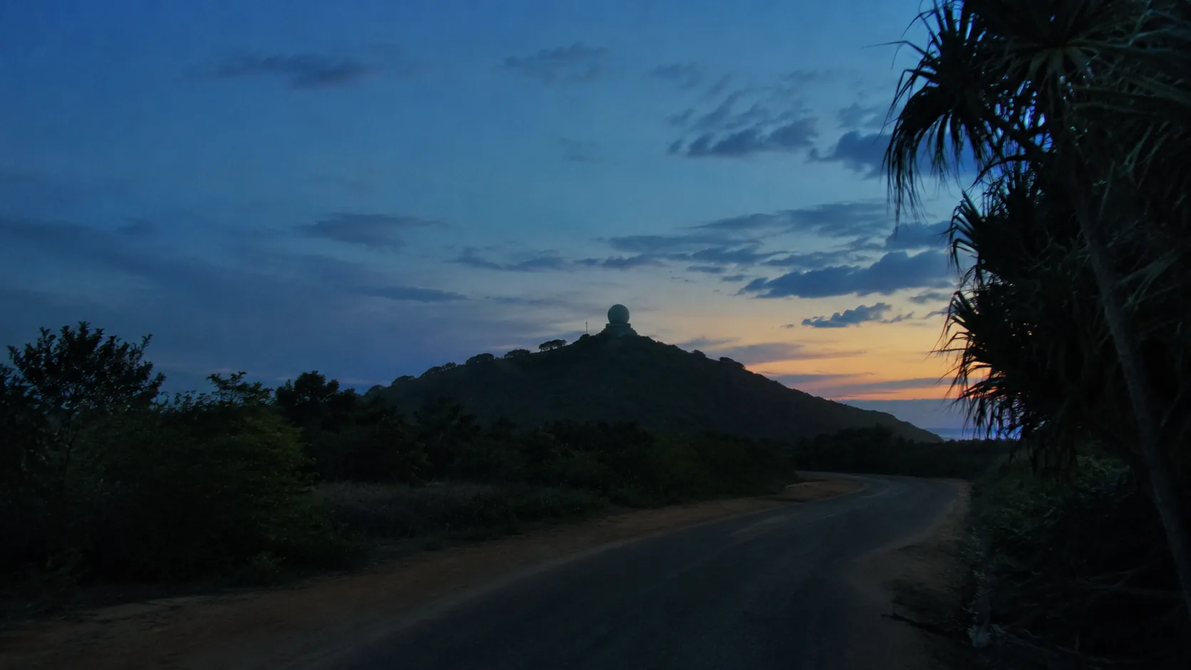
Drone No-Fly Zones in Sri Lanka
Where drones cannot fly in Sri Lanka: airports, military areas, prisons, power plants, heritage and wildlife sites, and how to check zones on the official maps.
Read the guideFlying Drones Near Airports in Sri Lanka
Why airports are the strictest drone environment in Sri Lanka, which airports matter for flight planning, and how controlled airspace and ATC authorisation work.
Read the guide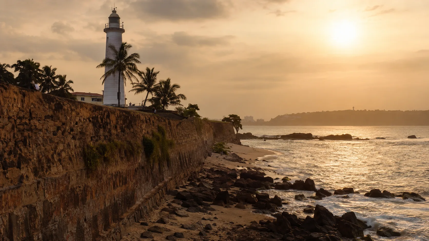
Flying Drones at Archaeological Sites in Sri Lanka
The rules for drone flights over Sri Lanka's archaeological and heritage sites: Department of Archaeology no-objection letters, the official map and etiquette.
Read the guideIn development
The following guides are on the editorial roadmap and will be published after official-source verification. They are not yet available.
- Drones in National Parks
- Flying Near Military Areas