
Drone Technology, Mapping and Data Explained
1 published guide · verified against official sources
Plain-English explanations of the technology behind modern drones: photogrammetry, sensors, positioning, data products and what accuracy really means.
What this section covers
Drone technology guides on this platform are educational and vendor-neutral. They explain how mapping and sensing actually work, from overlapping photographs to point clouds and elevation models, so that readers can evaluate drone data and services on the merits.
Planned guides cover drone types, cameras and sensors, GNSS, RTK and PPK positioning, LiDAR, data formats and processing. The first deep guide, on drone mapping and photogrammetry, is available now.
The vocabulary, in plain terms
- Photogrammetry
- Reconstructing measurable 3D geometry from overlapping photographs taken along a planned flight grid.
- Orthophoto
- A geometrically corrected aerial image with uniform scale, usable as a measurable map layer.
- Point cloud
- Millions of measured 3D points describing terrain and structures, the raw output of mapping flights.
- Digital terrain model
- A bare-earth elevation surface derived from a point cloud, with vegetation and buildings removed.
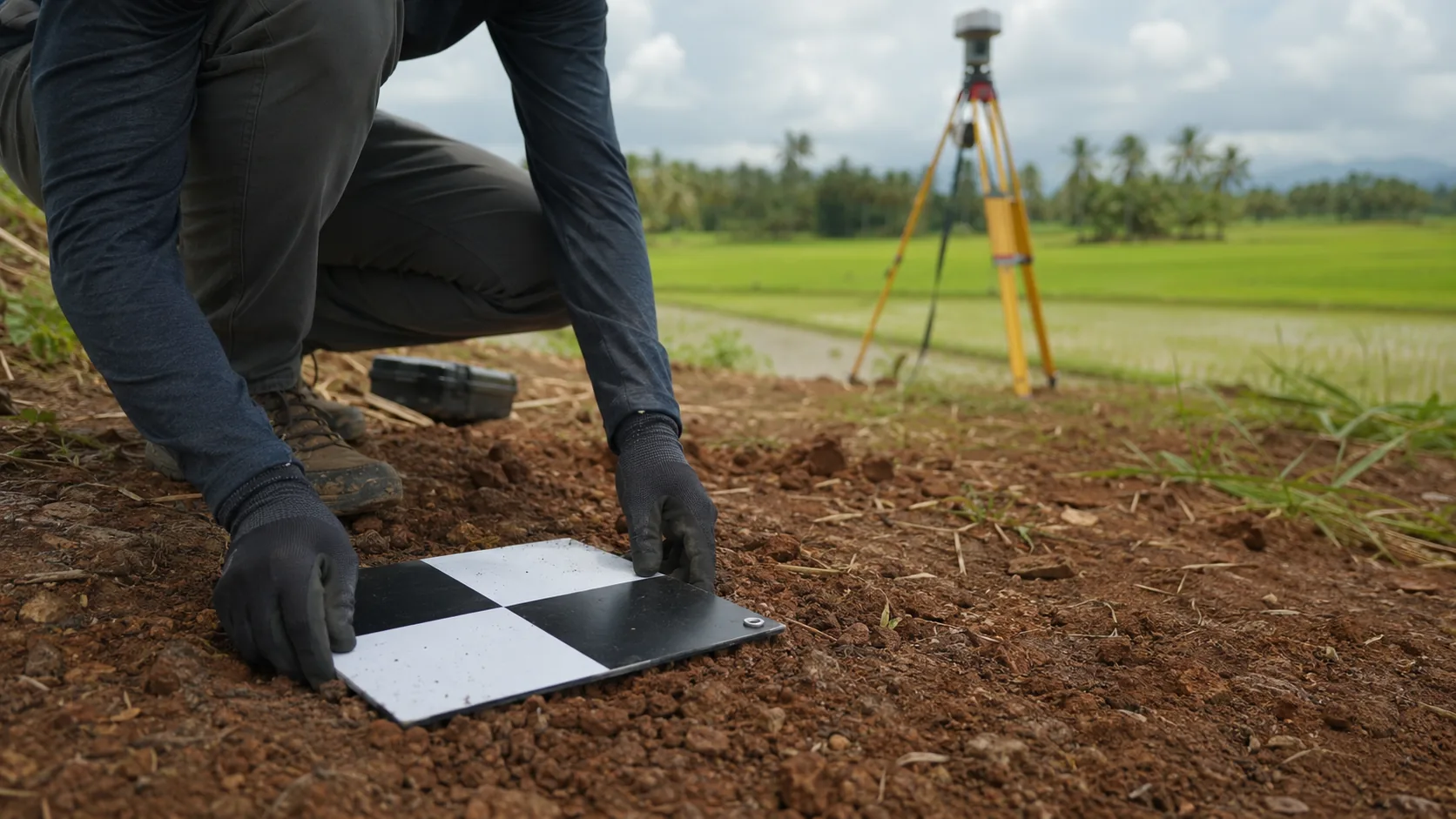
- Ground control point
- A surveyed marker visible from the air that anchors drone data to real-world coordinates.
- RTK / PPK
- Correction techniques that bring GNSS positioning from metres down to centimetres, live (RTK) or in post-processing (PPK).
- LiDAR
- Laser scanning that measures distance directly and can see through vegetation gaps where photogrammetry cannot.
- NDVI
- A vegetation index computed from multispectral imagery, used to assess crop health across paddy and plantations.
- VLOS
- Visual line of sight: keeping the aircraft directly visible to the pilot, a core operating rule in Sri Lanka.
- Geofence
- A software boundary that warns or prevents a drone from entering defined airspace.
Full explainers for each concept are on the technology roadmap and publish after review.
Guides in this section
In development
The following guides are on the editorial roadmap and will be published after official-source verification. They are not yet available.
- Types of Drones
- LiDAR vs Photogrammetry
- RTK and PPK Explained