What Is Drone Mapping? Photogrammetry Explained
Last verified 2026-07-19
How drone mapping works: photogrammetry, orthomosaics, point clouds, elevation models and accuracy, and what mapping projects involve in Sri Lanka.
By the Sri Lanka Drone Editorial Team · Last reviewed 19 July 2026
Quick answer
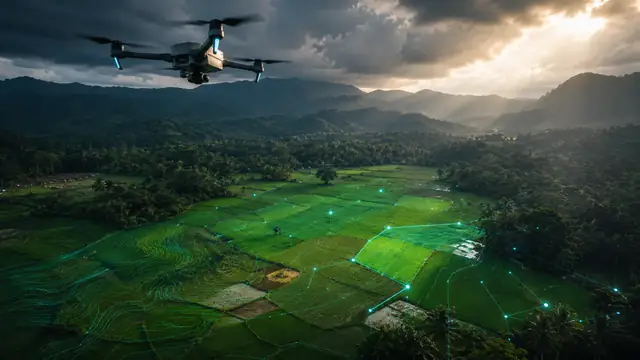
Drone mapping is the use of a drone to capture hundreds of overlapping aerial photographs of an area, which software then processes into measurable products: orthomosaics, which are scale-accurate map images, dense 3D point clouds, digital elevation models and textured 3D models. The technique, called photogrammetry, turns an ordinary camera drone into a surveying instrument, and it underpins applications from construction monitoring to plantation management across Sri Lanka.
How drone mapping works
A mapping flight follows a planned grid over the survey area, capturing photos with substantial overlap, typically 70 to 80 percent, so that every point on the ground appears in many images from different angles. Photogrammetry software identifies matching features across the images and reconstructs the geometry of the scene, producing a dense cloud of 3D points and, from it, the derived map products.
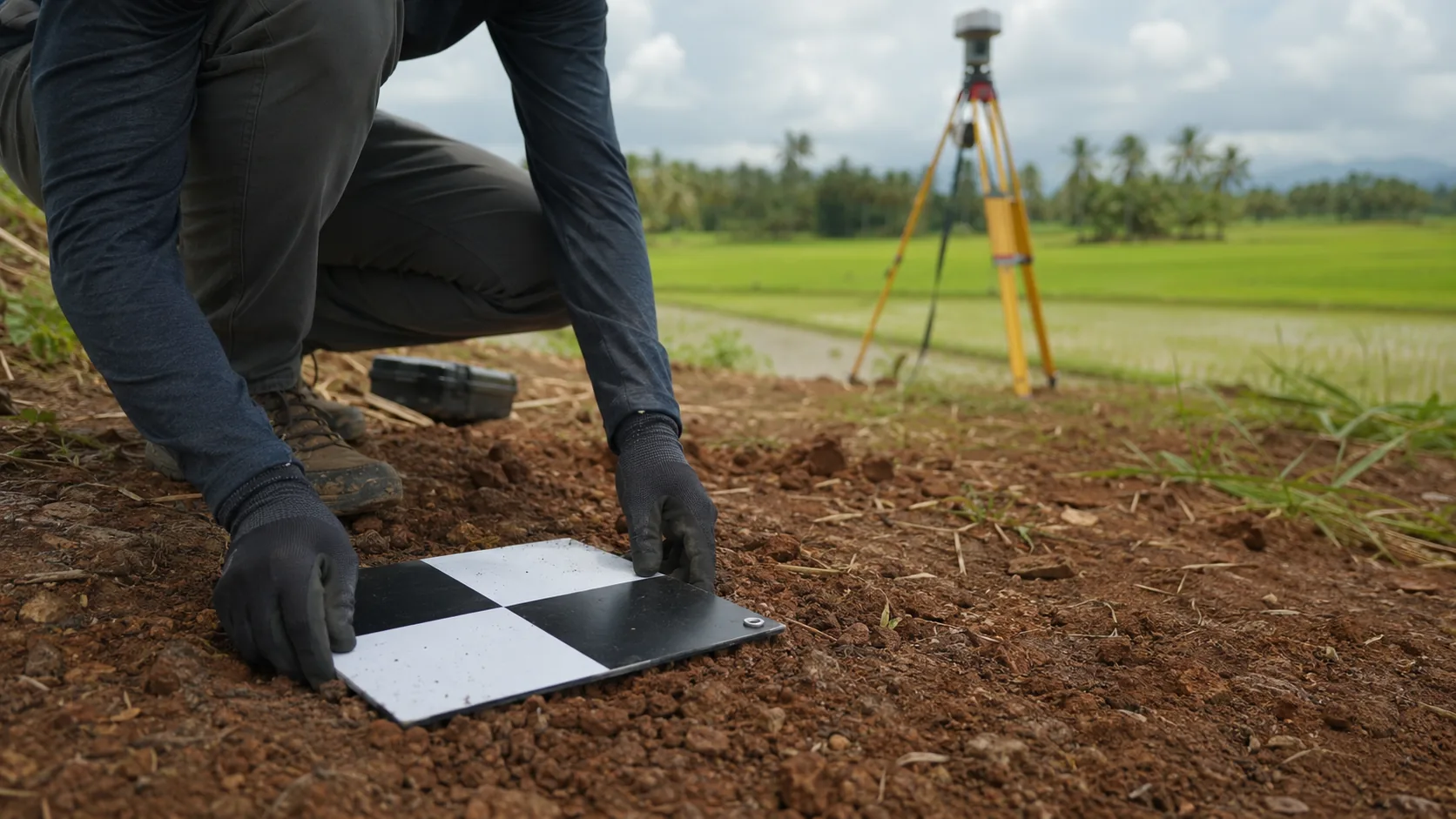
Positional accuracy comes from GNSS data and, for professional work, from ground control points measured with survey equipment, or from RTK and PPK corrections that refine the drone's own positioning to centimetre level.
The main outputs
Four products cover most mapping needs.
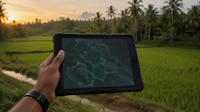
- Orthomosaic: a single, scale-correct aerial image assembled from all photos, usable for measurement like a map
- Point cloud: millions of 3D points representing terrain, vegetation and structures, the raw material for analysis
- Digital elevation and surface models: terrain height data used for drainage, earthworks and planning
- Textured 3D model: a photorealistic mesh for visualisation, inspection and documentation
Drone mapping in Sri Lanka
Mapping is an established drone application relevant to Sri Lankan construction, plantations, coastal management, irrigation heritage and disaster response. Operationally it follows the same rules as any flight: registration, MOD clearance and CAASL approval for the survey area, with grid flights planned inside the approved boundaries. Mapping over estates, reservoirs or infrastructure adds landowner and, where relevant, authority permissions.
Status: established use in Sri Lanka, subject to standard flight approvals and site permissions.
Frequently asked questions
What is the difference between drone mapping and drone photography?
Photography produces images for viewing; mapping produces measurable data. Mapping flights follow systematic grids with heavy overlap and are processed into orthomosaics, point clouds and elevation models.
How accurate is drone mapping?
With ground control points or RTK positioning, professional drone surveys routinely achieve centimetre-level accuracy. Without them, accuracy falls to metre level, sufficient for visualisation but not for engineering.
Is drone mapping legal in Sri Lanka?
Yes, under the same framework as other flights: registration, MOD security clearance and CAASL operation approval for the survey area, plus landowner and site-authority permissions where relevant.
Spotted outdated or incorrect information? Suggest a correction.