Agricultural Drones in Sri Lanka: An Educational Guide
Last verified 2026-07-19
How drones are used in agriculture and what that means for Sri Lanka: crop monitoring, multispectral imaging, spraying, plantations and the approval framework.
By the Sri Lanka Drone Editorial Team · Last reviewed 19 July 2026
Quick answer
Agricultural drones serve two broad roles: sensing, which means monitoring crop health with standard and multispectral cameras, and application, which means spraying or spreading inputs. For Sri Lanka's rice, tea, coconut and rubber sectors, sensing use cases such as plantation mapping and plant-health analysis are the most established entry point. All agricultural flights sit within the standard CAASL approval framework, and spraying operations should be assumed to need specific authority engagement.
Sensing: seeing the crop from above
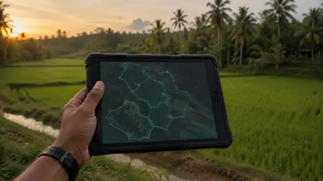
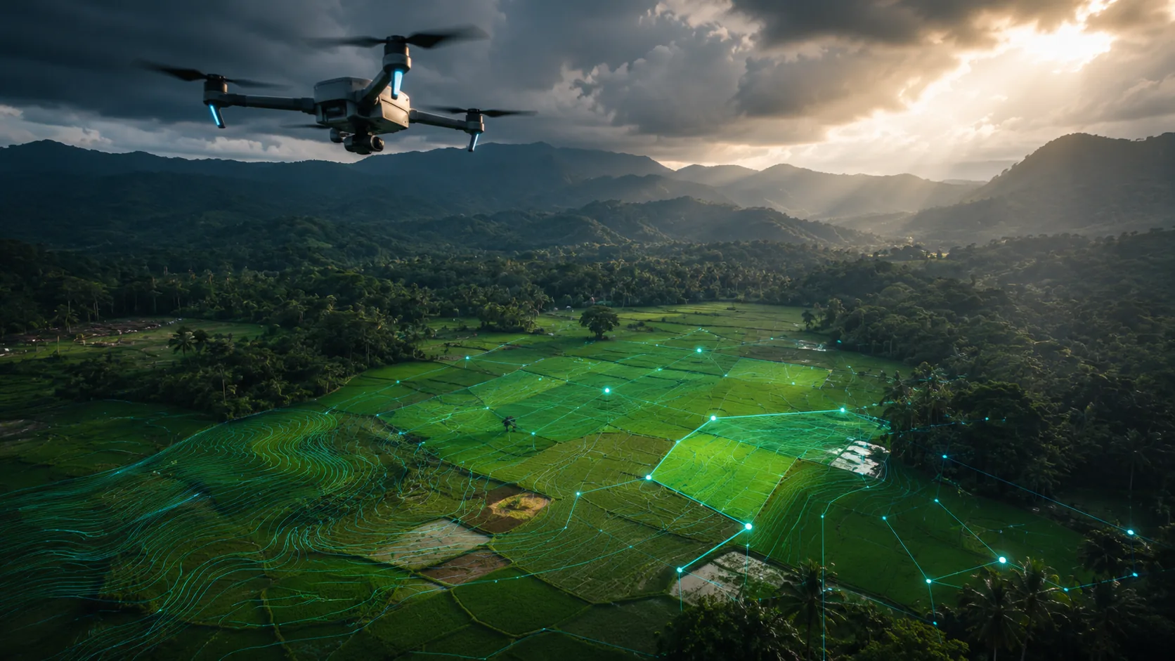
A mapping drone over a field produces more than pretty pictures. Multispectral sensors measure light reflected in bands the eye cannot see, and vegetation indices computed from them reveal stress, disease and irrigation problems before they are visible from the ground. For plantation crops, regular aerial surveys support tree counting, gap analysis and replanting decisions across terrain that is slow to walk. These sensing applications use the same photogrammetry workflow described in the drone mapping guide.
Spraying and application
Spray drones carry liquid tanks and apply agrochemicals along programmed swaths, a use case growing rapidly across Asia. In Sri Lanka, operators should note that CAASL's general operating rules prohibit carrying goods or dropping items from drones, which means agricultural application work requires specific engagement with CAASL rather than an assumption that standard approval covers it. The regulatory status of routine drone spraying in Sri Lanka should be confirmed directly with CAASL and the agricultural authorities before any commercial offering is built on it.
Status: spraying operations require verification with CAASL; do not assume standard approvals cover the carriage and release of substances.
A realistic path for Sri Lankan agriculture
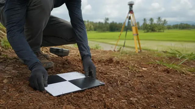
The pragmatic entry point is sensing on plantations and paddy schemes: registered equipment, standard approvals for the estate area, landowner arrangements that are usually simple on private agricultural land, and outputs, such as orthomosaics and index maps, that agronomists can act on. Estates near wildlife reserves or tanks used by birdlife should factor in environmental sensitivities, and hill-country tea estates add the terrain and weather judgement covered in the location guides.
Frequently asked questions
Are agricultural drones legal in Sri Lanka?
Sensing and mapping flights are handled within the standard approval framework. Spraying involves carrying and releasing substances, which the general rules prohibit without specific authorisation, so confirm the current status with CAASL before operating.
What can drone imaging tell a tea or coconut estate?
Tree counts and gaps, canopy condition, drainage and erosion problems, and season-over-season change, all mapped precisely enough to direct field teams.
Do I need permission to fly over my own farmland?
Owning the land answers the landowner question but not the aviation one. Registration, security clearance and CAASL approval still apply to flights over your own property.
Spotted outdated or incorrect information? Suggest a correction.