How to Check a Drone Location in Sri Lanka
Last verified 2026-07-19 · CAASL and site authorities
A practical checklist for checking any Sri Lankan location before a drone flight: official maps, airports, heritage, wildlife, security and landowner checks.
By the Sri Lanka Drone Editorial Team · Last reviewed 19 July 2026
Quick answer
Checking a location in Sri Lanka takes five steps: confirm the zone on the official CAASL Drone Zone Map, check the Department of Archaeology map for heritage protection, consider proximity to airports, military sites, ports and wildlife areas, confirm landowner and site permissions, and then run the official approval process for the exact coordinates. No single map answers all five questions, which is why a structured check matters.
- Responsible authority
- CAASL and site authorities
- Who this applies to
- Anyone planning a drone flight at a specific location in Sri Lanka.
- Verification status
- verified against official source
- Last verified
- 19 July 2026
- Last reviewed
- 19 July 2026
The five-step location check
Requirements in Sri Lanka can depend on the operator, aircraft, purpose and exact flight location, so a location check is a series of questions rather than a single lookup.
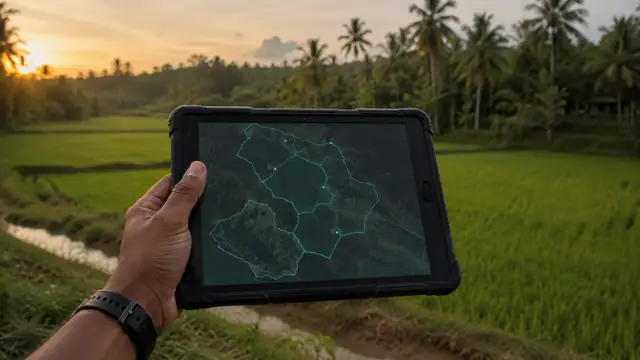
- Aviation: locate the exact spot on the CAASL Drone Zone Map and note any restricted, authorisation or warning zone
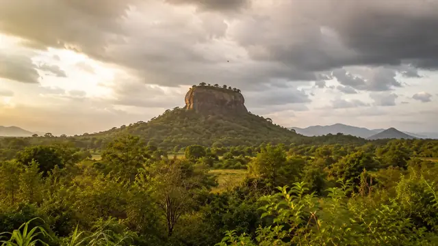
- Heritage: check the Department of Archaeology map for protected sites at or near the location
- Surroundings: identify nearby airports and helipads, military and security locations, ports, power infrastructure and wildlife or forest reserves
- Ground permissions: confirm landowner consent and any site management rules
- Approvals: submit the MOD security clearance and CAASL CAA/AS/017 request with precise GPS coordinates, including coordinates for any restricted areas
Work with precise coordinates
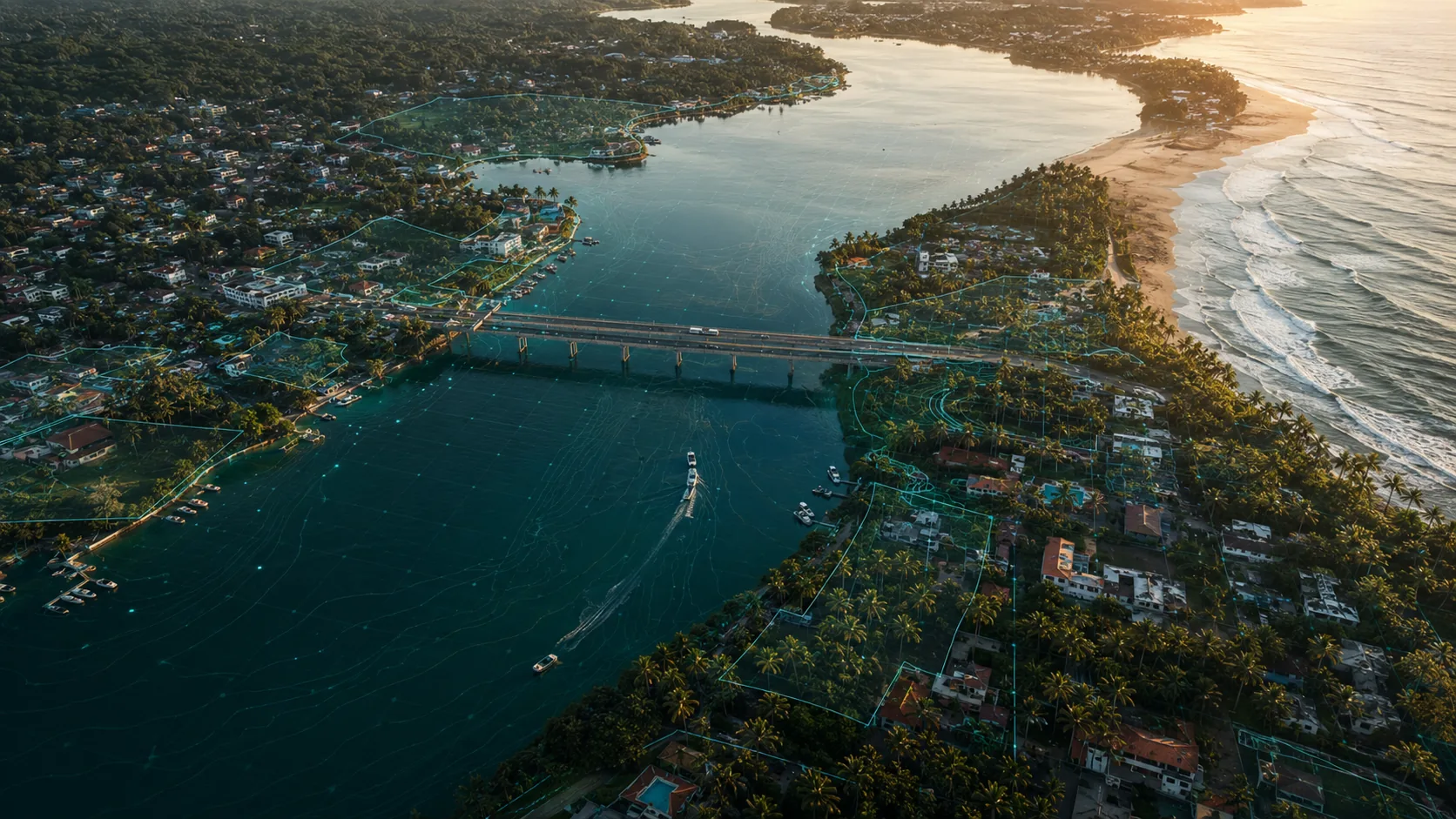
Record decimal GPS coordinates for take-off, landing and the operating area during planning. CAASL's guidance asks for GPS coordinates when locations fall within restricted or prohibited areas, and consistent coordinates across the MOD request, the CAASL form and no-objection letters remove a common source of delay.

When the answer is unclear
If a location's status is ambiguous on the maps, ask the responsible authority rather than guessing. CAASL can clarify aviation zones, and site authorities can clarify heritage, wildlife or port questions. An email exchange before travel is dramatically cheaper than a confiscated drone or a refused operation on the day.
Frequently asked questions
Is there one map that shows everything for drones in Sri Lanka?
No. The CAASL Drone Zone Map covers aviation zones and the Department of Archaeology map covers heritage sites. Wildlife, military and landowner considerations require their own checks.
Can I rely on the maps built into my drone app?
Manufacturer geofencing databases are not the official Sri Lankan reference and may be incomplete or outdated for Sri Lanka. Always check the official CAASL map.
What if my location is inside a warning zone?
Include the precise coordinates in your CAASL application and follow the authority's direction. Warning and authorisation zones signal conditions or extra approval, not automatic refusal, but only the authority can confirm.
Spotted outdated or incorrect information? Suggest a correction.