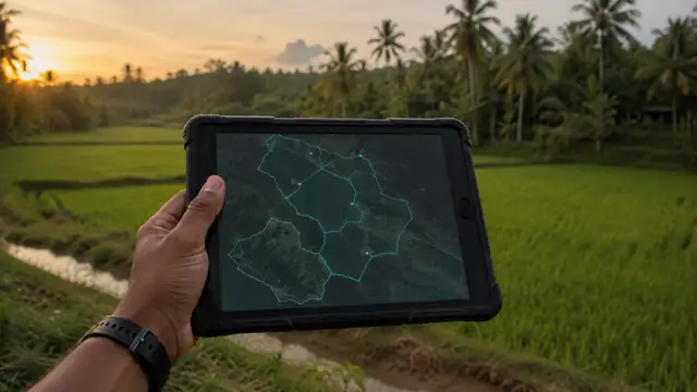
The CAASL Drone Zone Map: How to Use It
Last verified 2026-07-19 · Civil Aviation Authority of Sri Lanka (CAASL)
How to use the official CAASL Drone Zone Map for Sri Lanka: what the zones mean, what the map confirms, what it does not, and how it fits the approval process.
By the Sri Lanka Drone Editorial Team · Last reviewed 19 July 2026
Quick answer
The CAASL Drone Zone Map at portal.caa.lk/drone/map.html is the official geographical reference for drone zones in Sri Lanka, showing restricted, authorisation and warning areas and other aviation considerations. Every flight should be checked against it during planning. The map is guidance, not permission: it does not by itself constitute flight approval, which is issued separately by CAASL through the application process.
- Responsible authority
- Civil Aviation Authority of Sri Lanka (CAASL)
- Who this applies to
- Everyone planning a drone flight anywhere in Sri Lanka.
- Verification status
- verified against official source
- Last verified
- 19 July 2026
- Last reviewed
- 19 July 2026
What the Drone Zone Map is
The Drone Zone Map is published through CAASL's Drone Operations Portal and represents the authority's geographical guidance for unmanned aircraft. It marks areas where drone operations are restricted or prohibited, areas requiring authorisation, and warning areas where particular caution or conditions apply, reflecting airports, military locations and other aviation and security considerations.
How to use it when planning a flight
Open the official map and locate every place you intend to fly, not just the primary site. Note the zone classification at each point. If a location sits in or near a restricted or prohibited area, CAASL's approval guidance asks applicants to submit the GPS coordinates of those locations together with the CAA/AS/017 approval form, so record precise coordinates during planning.
Zones can change as security situations, airport operations and temporary notices change. Check the map close to the operation date, not only weeks in advance, and treat the live official map as the current version rather than screenshots or third-party copies.
What the map does not tell you
A clear area on the Drone Zone Map is not a green light by itself. The map does not grant flight approval, does not represent landowner permission, and does not cover site-specific controls such as archaeological protection, wildlife areas or religious sites, which have their own authorities and their own maps. Combine the Drone Zone Map with the Department of Archaeology map and the standard approval process before flying.
The map does not by itself constitute flight approval. Additional permission may apply depending on the operator, aircraft, purpose and exact location.
Frequently asked questions
Where is the official Sri Lanka drone map?
The CAASL Drone Zone Map is published at portal.caa.lk/drone/map.html through the official CAASL Drone Operations Portal.
If the map shows my location is clear, can I fly?
Not automatically. You still need registration, MOD security clearance and CAASL operation approval, plus landowner permission and any site-authority permissions. The map is guidance, not approval.
How current is the Drone Zone Map?
It is the live official reference, and zones can change with security and aviation conditions. Check it near your flight date and confirm uncertainties with CAASL.
Spotted outdated or incorrect information? Suggest a correction.