The Department of Archaeology Map and Drone Flights
Last verified 2026-07-19 · Department of Archaeology, with CAASL
How to use the Department of Archaeology's official map when planning drone flights in Sri Lanka, and why heritage sites need a separate no-objection letter.
By the Sri Lanka Drone Editorial Team · Last reviewed 19 July 2026
Quick answer
The Department of Archaeology publishes an official ArcGIS map of archaeological locations in Sri Lanka. Drone pilots should check it because flights over archaeologically important sites require a no-objection letter from the Department of Archaeology in addition to the standard CAASL approval. The map helps identify protected heritage locations near a planned flight, including famous sites such as Sigiriya, Anuradhapura, Polonnaruwa and the Galle Fort area.
- Responsible authority
- Department of Archaeology, with CAASL
- Who this applies to
- Anyone planning drone flights near heritage or archaeological locations.
- Verification status
- verified against official source
- Last verified
- 19 July 2026
- Last reviewed
- 19 July 2026
Why archaeology has its own map
Sri Lanka's archaeological heritage is dense and legally protected, from the ancient cities of the Cultural Triangle to colonial fortifications on the coast. CAASL's drone approval guidance explicitly requires a no-objection from the Department of Archaeology for operations over archaeologically important sites. The department's official map is the practical tool for discovering whether a planned flight touches such a site, including sites that are not obvious tourist landmarks.
Using the map in flight planning
Open the official ArcGIS viewer and search or navigate to your operating area. Identify archaeological locations at and around the site, remembering that a flight path or camera view can involve a protected site even when take-off happens outside it. Where a protected site is involved, contact the Department of Archaeology for a no-objection letter well before the flight, and run the standard MOD and CAASL process in parallel.
What the map does not confirm
The archaeology map covers heritage locations; it says nothing about aviation zones, military areas or wildlife reserves. It is one layer of a complete check, alongside the CAASL Drone Zone Map and the approval process. Site management may also impose practical rules on the ground, so respect signage and staff instructions at heritage locations regardless of what any map shows.
Frequently asked questions
Do I need permission to fly a drone at Sigiriya?
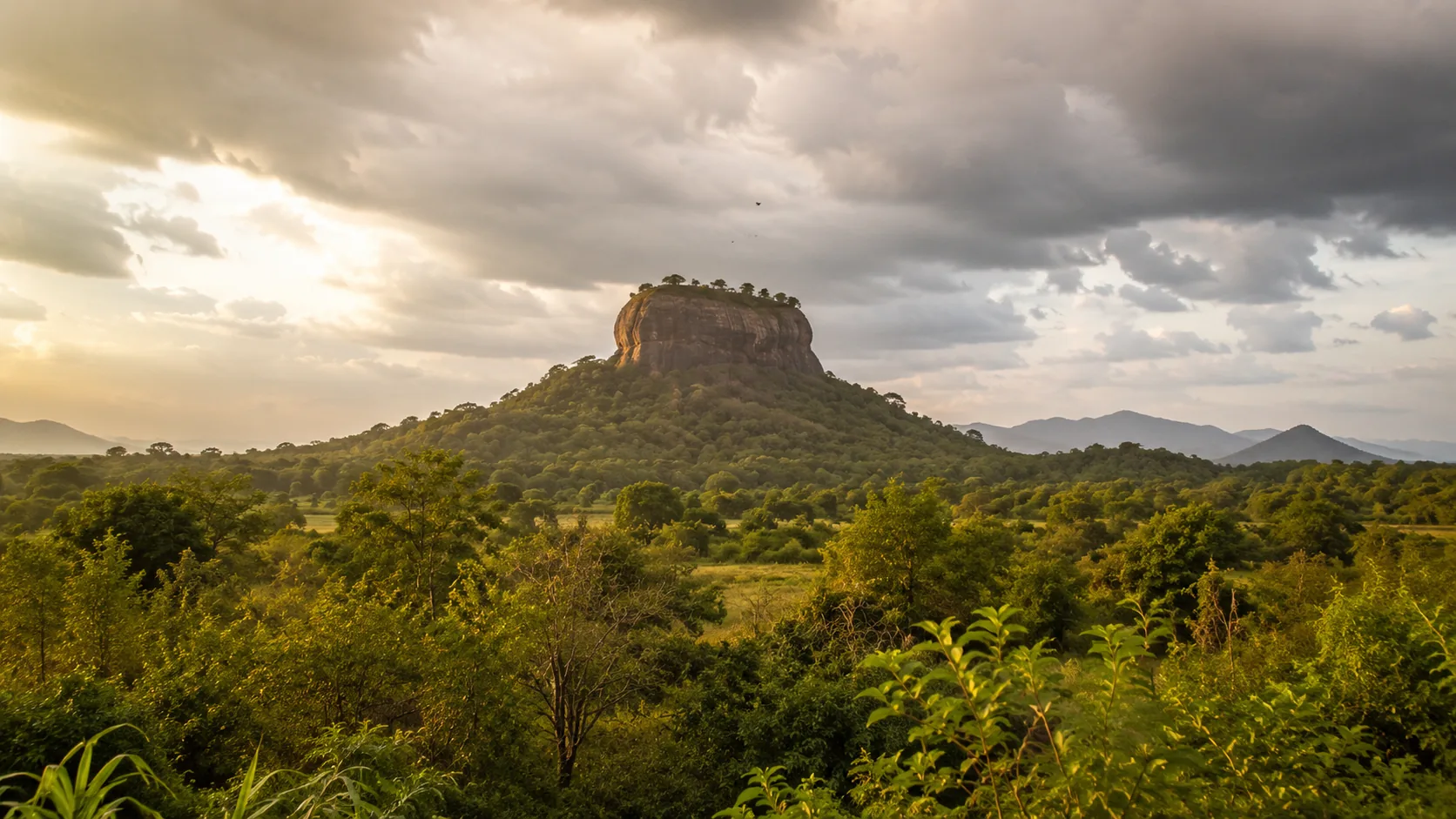
Sigiriya is one of Sri Lanka's most protected archaeological sites. Flights over archaeologically important sites require a Department of Archaeology no-objection plus the standard MOD clearance and CAASL approval. See the dedicated Sigiriya guide for details.
Where do I find the archaeological sites map?
The Department of Archaeology publishes its sites map through an official ArcGIS web viewer, linked from this page and from the Sri Lanka Drone maps hub.
Is the archaeology map enough to plan a flight?
No. Combine it with the CAASL Drone Zone Map and the standard approval chain. Each map answers a different question.
Spotted outdated or incorrect information? Suggest a correction.