Flying a Drone at Sigiriya: What You Need to Know
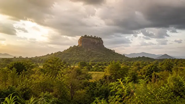
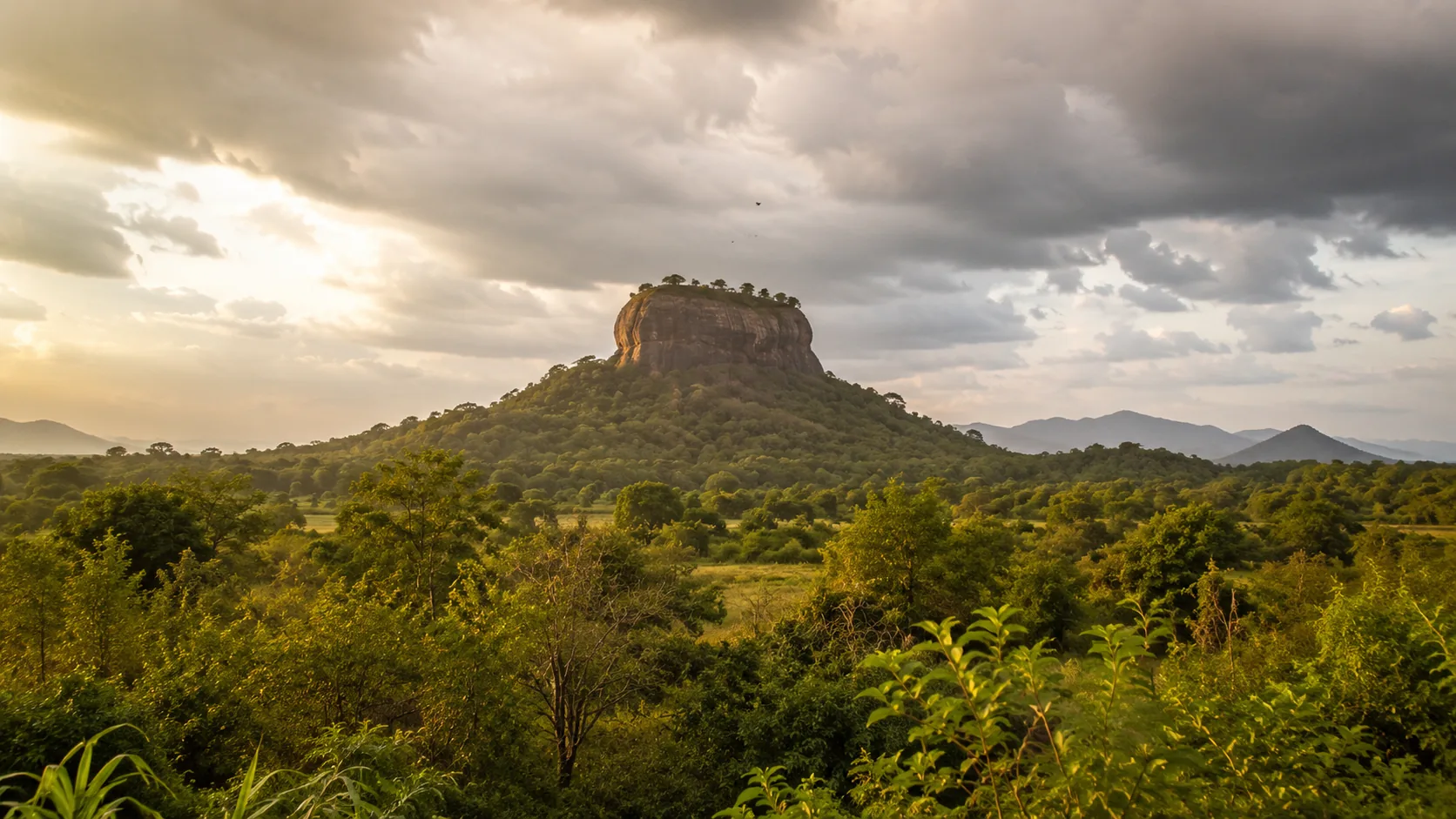
Illustrative imagery for geographical context. It does not indicate that drone operation is permitted at this location.
Last verified 2026-07-19 · Department of Archaeology, with CAASL and the MOD
Drone guidance for Sigiriya: why the rock fortress is a protected archaeological site, which permissions apply, and how to plan a compliant flight nearby.
By the Sri Lanka Drone Editorial Team · Last reviewed 19 July 2026
Quick answer
Sigiriya is a UNESCO-listed archaeological site under the protection of the Department of Archaeology, so a drone flight there requires a departmental no-objection letter in addition to the standard MOD security clearance and CAASL operation approval. There is no legal spontaneous flying at Sigiriya. Operators with a genuine project should apply to all three bodies well in advance; casual visitors should assume the answer is no without paperwork.
- Responsible authority
- Department of Archaeology, with CAASL and the MOD
- Who this applies to
- Photographers, filmmakers and visitors at Sigiriya and the surrounding area.
- Verification status
- verified against official source
- Last verified
- 19 July 2026
- Last reviewed
- 19 July 2026
Why Sigiriya is a special case
The rock fortress of Sigiriya, with its frescoes, water gardens and fifth-century palace remains, is one of the most protected cultural sites in Sri Lanka. CAASL's approval guidance requires a Department of Archaeology no-objection for flights over archaeologically important sites, and Sigiriya sits at the top of that category. The site also draws large visitor crowds, which engages the separate rule against overflying people and assemblies.
Planning a compliant Sigiriya flight
A legitimate project, for example documentary or heritage-documentation work, should approach the Department of Archaeology early with the purpose, equipment, pilots, dates and exact flight plan, then run the MOD security clearance and the CAASL CAA/AS/017 application in parallel. Expect conditions on timing and possibly on the use of footage. The surrounding region adds its own layers: the Sigiriya and Habarana area borders wildlife habitats where elephants roam, and the region sees air force activity, so check the CAASL Drone Zone Map for the exact coordinates.
If you cannot obtain permissions
Pidurangala and other viewpoints in the area are also within a landscape dense with protected locations, so relocating a hundred metres does not remove the requirements. Visitors without permissions should enjoy Sigiriya from the ground; the climb delivers the view without the paperwork. Operators needing aerial material on short notice can consider commissioning a locally authorised operator who already holds the necessary approvals.
Frequently asked questions
Is it legal to fly a drone at Sigiriya?
Only with a Department of Archaeology no-objection, an MOD security clearance and a CAASL operation approval covering the site and dates. Without all three, flying at Sigiriya is not permitted.
Can I fly at Pidurangala instead?
Pidurangala lies within the same heavily protected landscape, with its own archaeological significance. The same checking and approval process applies; do not assume it is an unregulated alternative.
Who do I contact for Sigiriya drone permission?
The Department of Archaeology for the heritage no-objection, the MOD for security clearance and CAASL for the operation approval.
Spotted outdated or incorrect information? Suggest a correction.