
Fly Sri Lanka. Know the rules.
Understand permits, registration, official maps, restricted areas, tourist requirements and safe drone operations across Sri Lanka.
Independent guidance based on current official sources.
Five checks before you fly.
The CAASL Drone Zone Map is the official geographical guidance for every flight. Walk the checks from zone status to authority confirmation.
- 01Check the official mapsCAASL Drone Zone Map and heritage sites map
- 02Confirm operator and aircraft requirementsResident, tourist or business
- 03Confirm permits and security clearanceRegistration, MOD, CAASL approval
- 04Check the exact locationHeritage, parks, airports, ports
- 05Confirm with the responsible authorityAsk before you fly
This guidance does not replace official approval. Requirements can depend on the aircraft, operator, purpose and exact location.
Open the full decision path →The two official maps
Zone status comes from the authorities, not from this platform. These are the two sources every location check starts with.
Source · CAASLCAASL Drone Zone MapThe official geographical guidance: restricted, controlled and open areas across the island.Open the guide → Source · Dept. of ArchaeologyArchaeological sites mapDepartment of Archaeology listings where drone use needs written permission regardless of zone status.Open the guide →
Most-used guides
The pages readers reach for first, each verified against its official source and dated.
Browse all guides → Featured guideFlying as a tourist
- Can tourists fly drones in Sri Lanka?The full visitor process, from import to approval
- Drone registrationForm CAA/AS/019 and the current exemption
- Security clearanceThe MOD step in the approval flow
- Flight approvalForm CAA/AS/017, insurance and lead times
- No-fly zonesThe five restriction layers explained
- How to check a drone locationThe five-step location check
The island, guide by guide
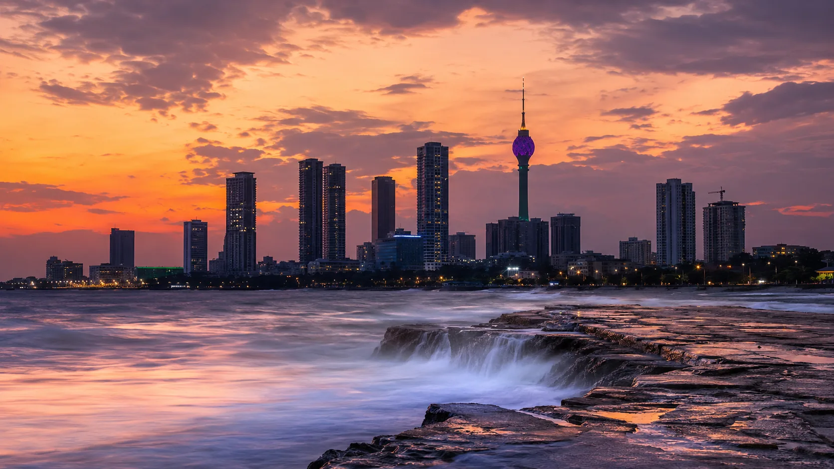
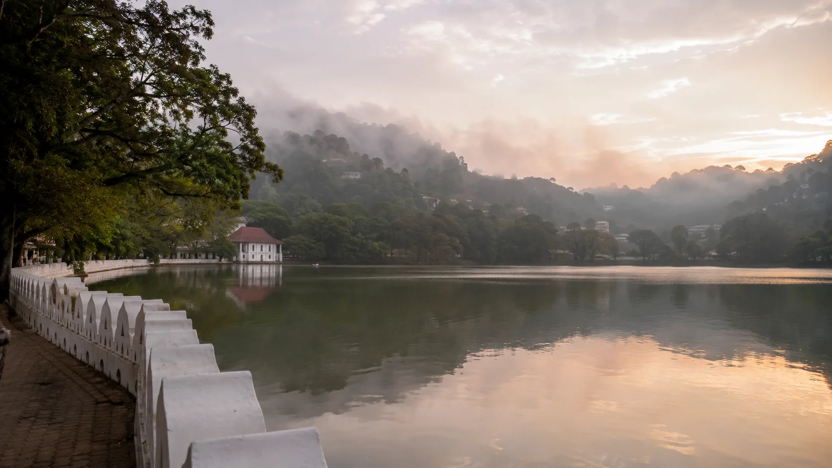
City and site guides with the zones, sensitivities and approvals each one involves. Select a point to explore.
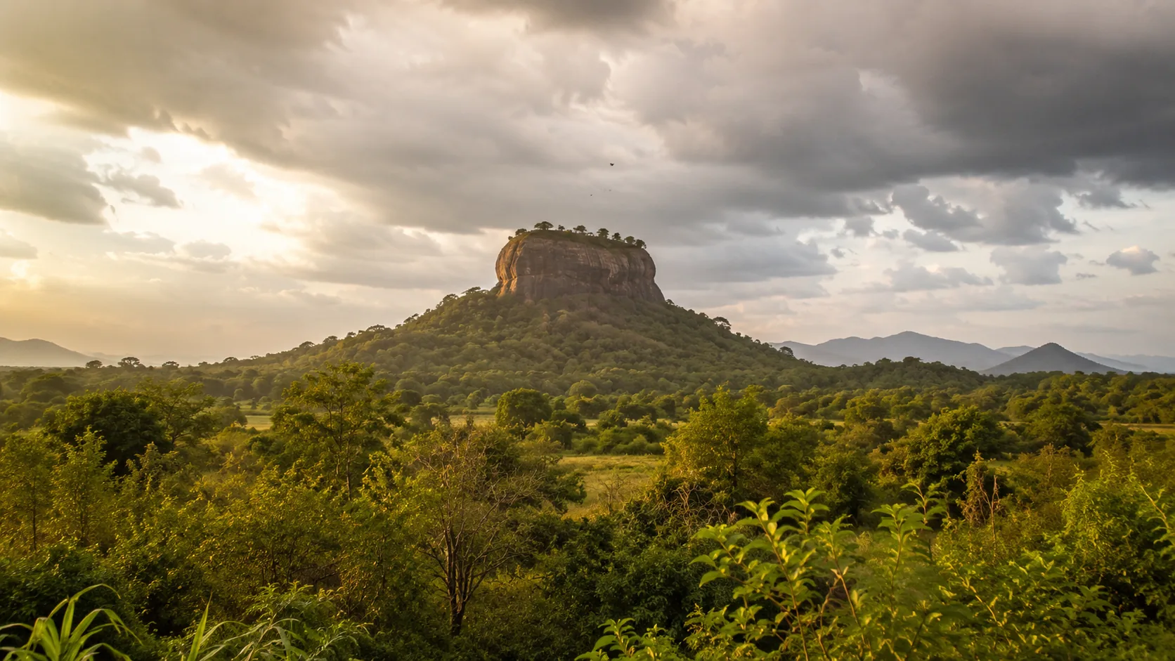
Coastline from Natural Earth public-domain data, simplified for rendering. Zone status comes from the official CAASL map, never from this overview.
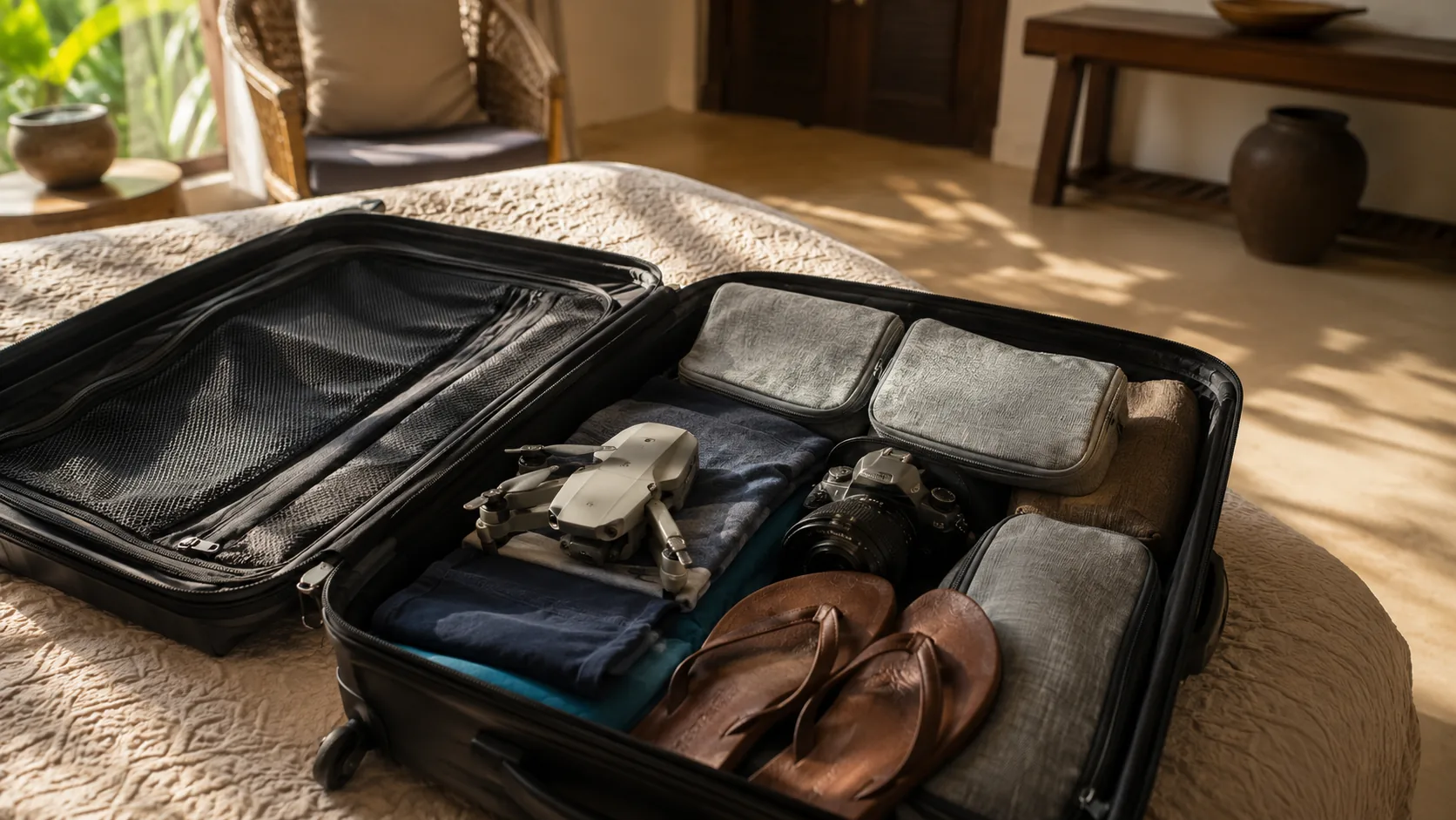
Bringing a drone? Start four weeks early.
Import permissions, registration, clearance and approval, in the order that actually works, with the border check at the end.
Read the tourist guide →What drones do here


Find your requirements in four answers
Can I fly here?
Who is flying?
Latest verified updates
Changes are published only after checking the official source, with the date of verification.
All updates →
- 19 July 2026Core CAASL and Ministry of Defence guidance re-verified against the live official pages.
- 18 July 2026Type approval form reference corrected to CAA/OP/078 per the current CAASL page.
- 17 July 2026Official source directory expanded to sixteen authorities with verification status.
How information is checked
Every regulatory page names its authority, links its official source and carries a last verified date. Where something cannot be verified against an official page, it is labelled rather than guessed. Where this platform and an official source differ, the official source is correct.

Primary sources
- Civil Aviation Authority of Sri Lanka, drone section and portal
- Ministry of Defence, UAV clearance process
- Department of Archaeology sites map
- Thirteen further authorities in the source directory
Core sources last verified 19 July 2026.
Common questions
- Can tourists fly drones in Sri Lanka?
- Tourists may be able to fly after completing the official process: import permissions before travel, CAASL registration, an MOD security clearance and a CAASL operation approval with insurance. Start several weeks before the trip and verify the current process through CAASL. Read more →
- Do I need to register my drone?
- Under current CAASL guidance, most do: registration uses form CAA/AS/019 via the drone portal. Drones of 200 g or less without a camera or sensor are exempt under current guidance. Read more →
- Who regulates drones in Sri Lanka?
- The Civil Aviation Authority of Sri Lanka (CAASL) is the primary regulator, with the Ministry of Defence issuing security clearances and site authorities such as the Department of Archaeology involved for specific locations. Read more →
- How do I check if I can fly at a location?
- Check the official CAASL Drone Zone Map and the Department of Archaeology sites map, then confirm operator requirements and any site permissions. Our five-step guide walks the whole check. Read more →

Sri Lanka Drone is an independent knowledge platform within the SriLankaX network.