Flying a Drone in Galle: What You Need to Know
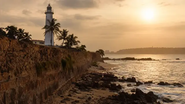
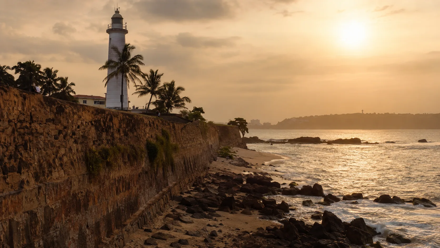
Illustrative imagery for geographical context. It does not indicate that drone operation is permitted at this location.
Last verified 2026-07-19 · Department of Archaeology and CAASL
Drone guidance for Galle: the UNESCO-listed fort, the harbour, crowds on the ramparts, coastal weather and how to plan compliant flights on the south coast.
By the Sri Lanka Drone Editorial Team · Last reviewed 19 July 2026
Quick answer
Galle's centrepiece, the seventeenth-century Dutch fort, is a UNESCO World Heritage site protected by the Department of Archaeology, so drone flights over the fort require a departmental no-objection letter alongside the standard MOD clearance and CAASL approval. The town also has a working harbour and busy public spaces on the ramparts. The wider south coast around Galle offers more straightforward coastal locations, subject to the same national approval process.
- Responsible authority
- Department of Archaeology and CAASL
- Who this applies to
- Operators around Galle Fort, the harbour and the south coast.
- Verification status
- verified against official source
- Last verified
- 19 July 2026
- Last reviewed
- 19 July 2026
The fort is a heritage site first
Galle Fort's bastions, lighthouse and streetscape read as a photogenic town, but legally the fort is an archaeological monument. Flights over archaeologically important sites require a Department of Archaeology no-objection under CAASL's approval guidance, and the fort's popularity means the ramparts often carry exactly the kind of crowds the overflight rules protect. Sunset, the most tempting hour for aerial photography, is also the most crowded.
The harbour and the surrounding coast
Galle's harbour is a working port with naval relevance, which brings security considerations distinct from the heritage rules. Along the coast in both directions, from Unawatuna towards Weligama and up towards Hikkaduwa, beach and headland locations are generally simpler applications, provided flights avoid crowds, respect hotel and resident privacy, and stay within approved locations and altitudes. Coastal wind deserves respect: the southwest monsoon brings strong onshore winds and salt spray that punish small drones.

Planning a Galle operation
For fort imagery, apply to the Department of Archaeology with precise plans and combine it with the MOD and CAASL process; for coastal work, verify each site on the CAASL Drone Zone Map and secure landowner consent for take-off points. Early morning offers calmer wind, softer light and thinner crowds, all three of which make both the flying and the approvals easier to manage.
Frequently asked questions
Can I fly a drone over Galle Fort?
Only with a Department of Archaeology no-objection plus MOD clearance and CAASL approval. The fort is a protected UNESCO-listed monument.
Can I fly at beaches near Galle?
Coastal locations outside protected sites are generally more straightforward, but the full national approval process still applies, along with crowd, privacy and landowner considerations.
When is the best time to fly around Galle?
Early morning typically offers the calmest wind and fewest people. The southwest monsoon season brings strong coastal winds that materially affect small drones.
Spotted outdated or incorrect information? Suggest a correction.