Flying a Drone in Arugam Bay: What You Need to Know
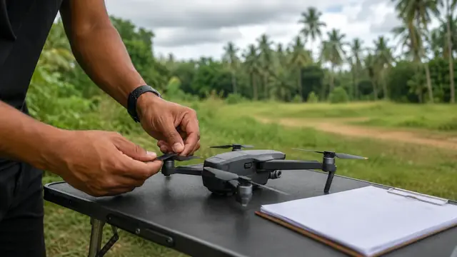
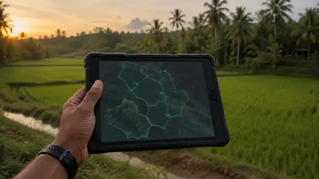
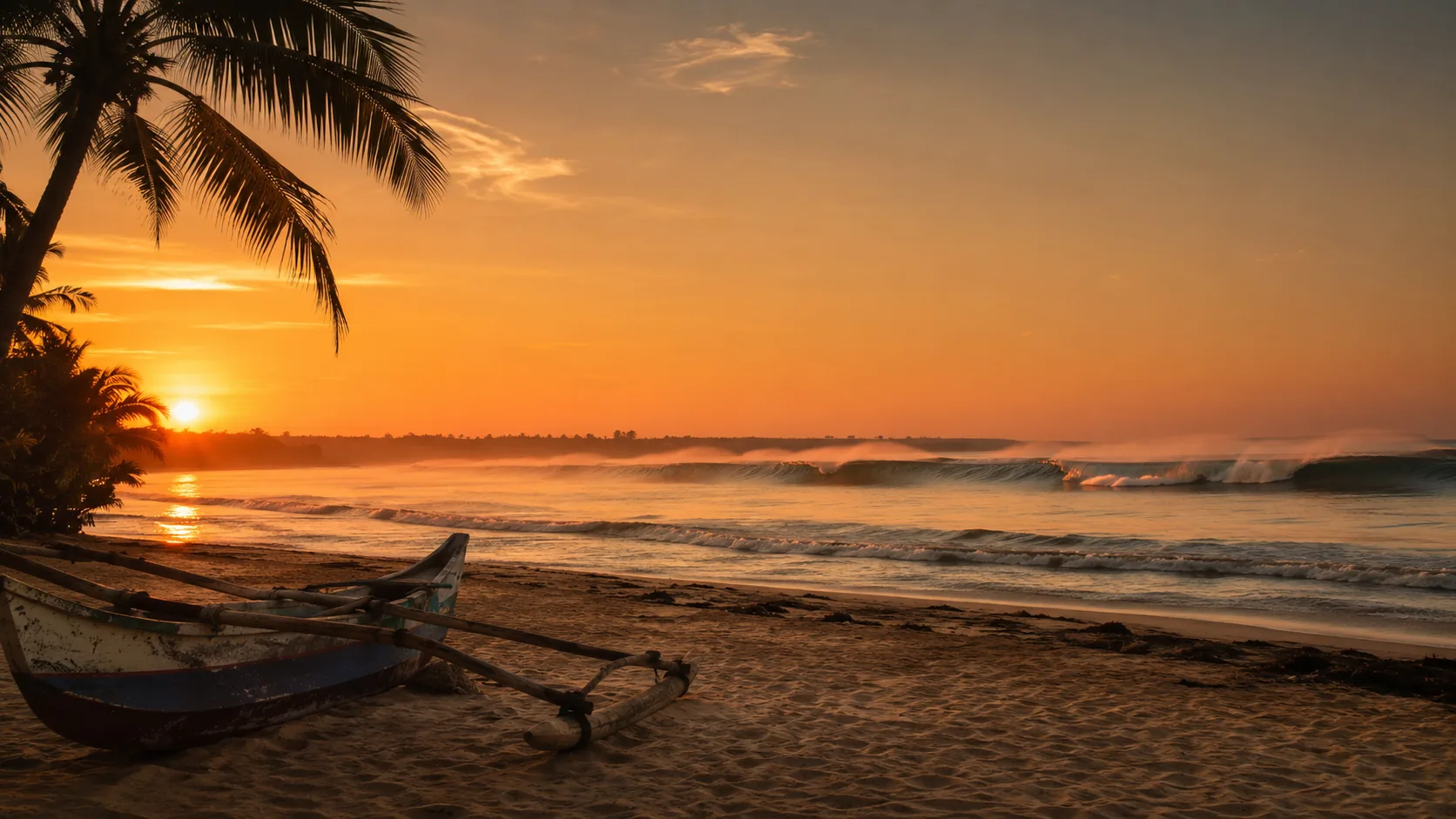
Illustrative imagery for geographical context. It does not indicate that drone operation is permitted at this location.
Last verified 2026-07-19 · CAASL, with the DWC for the surrounding national parks
Drone guidance for Arugam Bay: surfers in the lineup, Kumana and Lahugala national parks, Pottuvil lagoon birdlife and the east coast season.
By the Sri Lanka Drone Editorial Team · Last reviewed 19 July 2026
Quick answer
Arugam Bay itself is a small surf town without an airport or base on its doorstep, so the practical questions are about people and wildlife rather than hard security zones. The lineup at the point is full of surfers for most of the season, and the rule against overflying people applies to them as much as to a street crowd. South of town, Kumana National Park and the wider protected landscape fall under the Department of Wildlife Conservation, where drone use should not be assumed to be allowed. The standard registration, clearance and approval framework applies, with the zone map checked for the exact coordinates.
- Responsible authority
- CAASL, with the DWC for the surrounding national parks
- Who this applies to
- Surf photographers and visitors flying around Arugam Bay, Pottuvil and the coast to the south.
- Verification status
- verified against official source
- Last verified
- 19 July 2026
- Last reviewed
- 19 July 2026
Filming the surf without overflying surfers
The classic Arugam Bay shot follows a wave down the point, but the lineup underneath is a crowd, and the prohibition on overflying people applies. Shooting from the channel side, keeping lateral distance and working at quiet hours are the realistic ways to film here. Respect the beach crowds at Main Point and Whiskey Point the same way.
The protected south
Kumana National Park, the Lahugala reserve and the coastal wetlands south of Panama form a landscape where elephants, crocodiles and huge bird colonies live under Department of Wildlife Conservation protection. Drone use in national parks requires the DWC's permission, and disturbing wildlife is an offence in its own right; do not treat the park boundary as a technicality.
Practical planning
Check the zone map for the exact coordinates, watch the wind, keep the drone off the beach crowds and the lagoon birdlife, and remember that the east coast's season also brings the best light at dawn, when the beaches are quietest.
Frequently asked questions
Can I film surfers at the point with a drone?
Not by overflying them. Work from the side with lateral distance, at quiet times, with the standard approvals in place.
Is Kumana National Park open to drones?
Drone use in national parks requires Department of Wildlife Conservation permission; assume it is not allowed without it.
Does Arugam Bay sit in a restricted zone?
Check the CAASL Drone Zone Map for the exact coordinates; the coast south of town runs quickly into protected landscape.
Spotted outdated or incorrect information? Suggest a correction.