Flying a Drone in Batticaloa: What You Need to Know
Illustrative imagery for geographical context. It does not indicate that drone operation is permitted at this location.
Last verified 2026-07-19 · CAASL, with the Department of Archaeology for the fort
Drone guidance for Batticaloa: the airport on the town's edge, the great lagoon and its bridges, the Dutch fort and the beaches at Pasikuda.
By the Sri Lanka Drone Editorial Team · Last reviewed 19 July 2026
Quick answer
Batticaloa wraps around a vast lagoon, and its two hard constraints sit close together: the airport on the edge of town, which has seen air force use, and the Dutch-era fort, an archaeological monument by the water. Aerodrome separation applies around the airfield, so the zone map check for exact coordinates comes first, and the fort brings departmental permission into play. The lagoon itself, with its bridges, fishing platforms and birdlife, is the region's great subject, best flown away from the airport side and clear of the fishermen working the water. North at Pasikuda and Kalkudah, the resort beaches carry the familiar rules about crowds. The standard framework applies throughout.
- Responsible authority
- CAASL, with the Department of Archaeology for the fort
- Who this applies to
- Visitors and operators around Batticaloa lagoon, the town and the Pasikuda coast.
- Verification status
- verified against official source
- Last verified
- 19 July 2026
- Last reviewed
- 19 July 2026
The lagoon is the subject
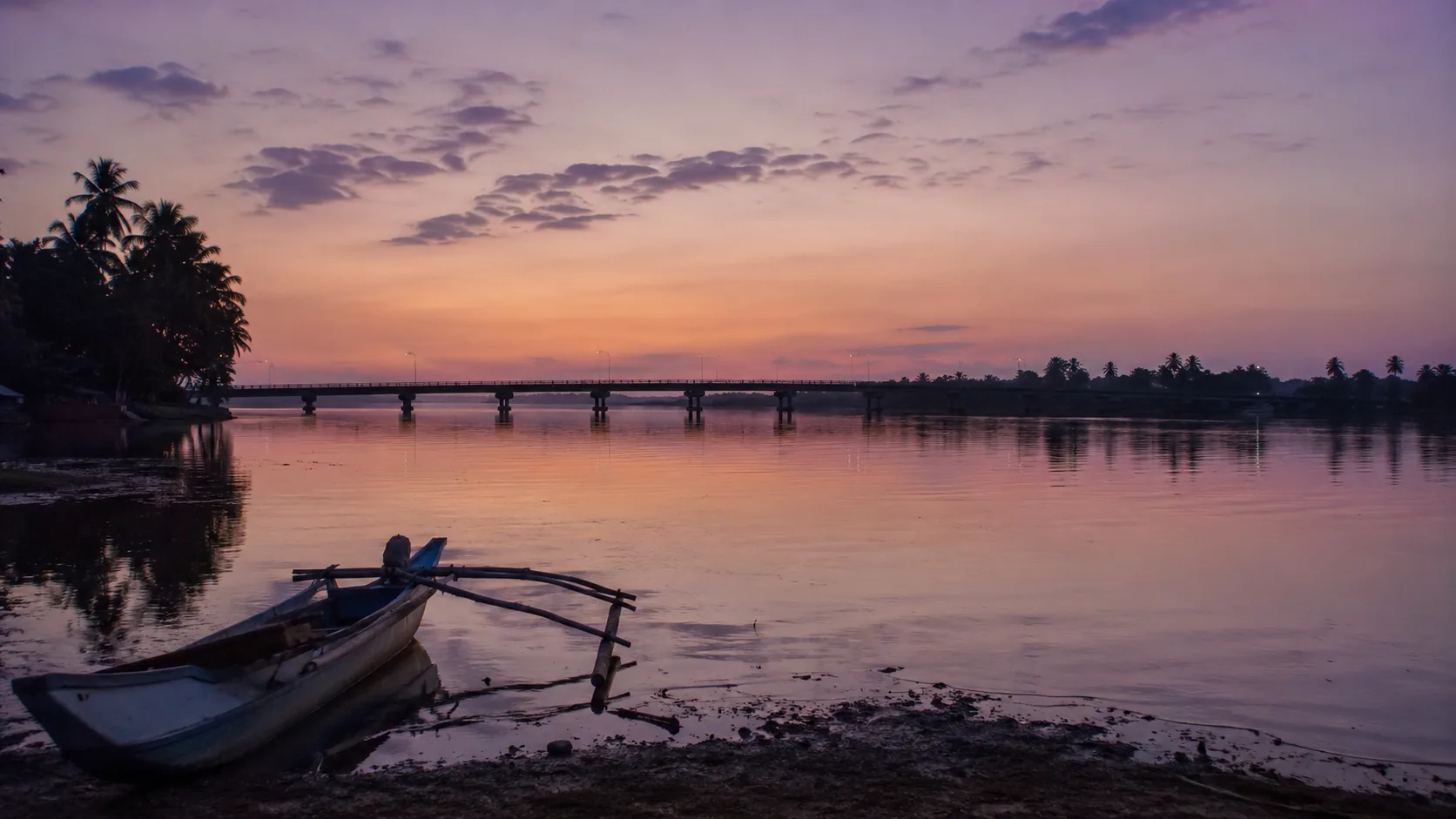
Batticaloa's lagoon stretches for tens of kilometres, crossed by causeways and the long Kallady bridge, dotted with prawn fishermen and wading birds. Flown with care, away from the airport side of town and high enough to leave the fishermen undisturbed, it offers the east coast's most graphic aerial landscape. Dusk stills the water and the light; it is the hour this coastline was made for.
The airfield and the fort
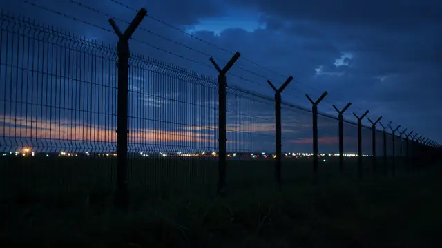
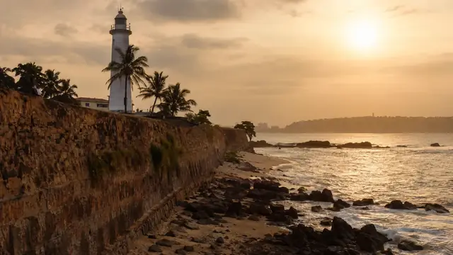
The airport on the town's edge brings aerodrome separation to the nearby districts, and its air force history means the security review will care about exact locations; put precise coordinates into the zone map and the applications. The Dutch fort by the lagoon mouth is an archaeological monument where departmental permission applies alongside the standard approvals.
Pasikuda and the open coast
The shallow bay at Pasikuda fills with bathers through the season, engaging the rule on crowds, while Kalkudah next door often sits near-empty. As everywhere on this coast, the wind swings with the monsoon; the calm months from May to September are the east's flying season.
Frequently asked questions
Can I fly over Batticaloa lagoon?
Away from the airport side of town, clear of the fishermen and with the standard approvals, the lagoon is realistic flying country; check the zone map for your exact launch point.
Does the Dutch fort need special permission?
Yes; it is an archaeological monument, so departmental permission applies alongside the standard approvals.
What about Pasikuda beach?
In season the bay is crowded and the rule against overflying people applies; neighbouring Kalkudah is often the emptier alternative.
Spotted outdated or incorrect information? Suggest a correction.