Flying a Drone in Negombo: What You Need to Know
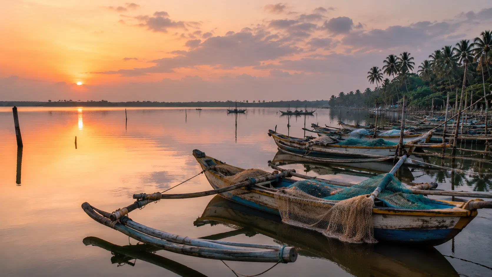
Illustrative imagery for geographical context. It does not indicate that drone operation is permitted at this location.
Last verified 2026-07-19 · CAASL, with airport and air force authorities
Drone guidance for Negombo: why proximity to Bandaranaike International Airport dominates everything, plus the lagoon, the fish market and the canal town.
By the Sri Lanka Drone Editorial Team · Last reviewed 19 July 2026
Quick answer
Negombo's defining fact for drone operators is Bandaranaike International Airport a short distance inland, sharing its field with an air force base. Much of the Negombo area sits under or near the approach and departure paths of the country's main international gateway, and flights near airports are prohibited without specific authorisation. Assume that large parts of town are effectively closed to drones, verify the exact coordinates on the CAASL Drone Zone Map before considering anything, and treat any flight that is possible as one to keep low, brief and far from the flight paths. The lagoon's fishing fleet and the fish market add crowds and working boats to the picture.
- Responsible authority
- CAASL, with airport and air force authorities
- Who this applies to
- Visitors and operators in Negombo, the lagoon and the beach strip.
- Verification status
- verified against official source
- Last verified
- 19 July 2026
- Last reviewed
- 19 July 2026
The airport owns this airspace
Negombo grew as the beach town nearest the international airport, and that convenience is precisely the drone problem: heavy jets climb and descend over the district around the clock, and the airfield doubles as an air force base. Aerodrome protection exists so that nothing small and hard to see shares air with approaching aircraft; here that protection covers a meaningful part of the map. This is the one coastal town where the starting assumption should be that you cannot fly.
Verification before anything
If a project genuinely needs aerial work in the Negombo area, the sequence is strict: exact coordinates into the CAASL Drone Zone Map, honest reading of the result, and the CAA/AS/017 application naming the precise location so CAASL can assess it against the aerodrome environment. Expect refusals near the flight paths and do not improvise around them.
The lagoon, the market and the canals
The lagoon's outrigger fleet and the famous fish market are working environments dense with people, engaging the rules on crowds regardless of the airport question. The Dutch canals and the beach strip north of town share the same aerodrome context; nothing in Negombo escapes the airport's geography.
Frequently asked questions
Can I fly a drone in Negombo?
Assume large parts of the area are closed because of Bandaranaike International Airport. Verify exact coordinates on the zone map and expect refusals near the flight paths.
Why is Negombo stricter than other beach towns?
The international airport and its air force base sit a short distance inland, putting much of the district under aerodrome protection.
Can I fly over the fish market or the lagoon fleet?
No; they are crowded working environments, and the airport context applies on top of the rules about people.
Spotted outdated or incorrect information? Suggest a correction.