Flying a Drone in Trincomalee: What You Need to Know
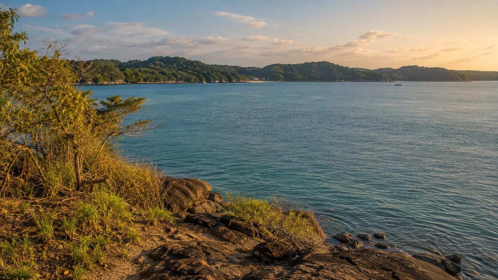
Illustrative imagery for geographical context. It does not indicate that drone operation is permitted at this location.
Last verified 2026-07-19 · CAASL, with the Sri Lanka Navy, the MOD and the DWC
Drone guidance for Trincomalee: the naval dockyard and China Bay airfield, Koneswaram and Fort Frederick, Pigeon Island and how the harbour shapes flight planning.
By the Sri Lanka Drone Editorial Team · Last reviewed 19 July 2026
Quick answer
Trincomalee is dominated by one of the world's great natural harbours, and that harbour is home to a major Sri Lanka Navy presence alongside the China Bay airfield. Under current guidance, flights near naval facilities and airfields are not permitted without specific authorisation, and Fort Frederick combines heritage protection with an active military area. The beaches north of town are more open terrain, but the CAASL Drone Zone Map should be checked for the exact coordinates before any flight, and Pigeon Island is a marine national park under the Department of Wildlife Conservation.
- Responsible authority
- CAASL, with the Sri Lanka Navy, the MOD and the DWC
- Who this applies to
- Operators and visitors planning flights in Trincomalee, Nilaveli, Uppuveli and around the harbour.
- Verification status
- verified against official source
- Last verified
- 19 July 2026
- Last reviewed
- 19 July 2026
A harbour city with layered restrictions
The inner harbour, the dockyard and the surrounding headlands carry naval significance, and China Bay airfield adds aerodrome separation requirements on the southern side of the bay. Koneswaram temple stands on Swami Rock inside Fort Frederick, where heritage value, active worship, resident deer and a military area overlap in a single compact headland. Treat the whole harbour rim as sensitive and assume that any flight there needs specific authorisation beyond the standard approvals.
Nilaveli, Uppuveli and the northern beaches
The long beaches north of town are the area where compliant flying is most realistic, subject to the zone map, the standard registration, clearance and approval, and the general rules on people and property. Pigeon Island Marine National Park, a short boat ride off Nilaveli, is under the Department of Wildlife Conservation, and drone use in national parks should not be assumed to be allowed; ask the DWC before planning anything over the reef.
Planning a Trincomalee flight
Check the exact coordinates on the CAASL Drone Zone Map, keep well clear of the harbour, the dockyard and China Bay, and confirm the current status of any location that sits near the bay rim. Operators with commercial projects should name precise sites in the CAA/AS/017 application so the authorities can assess them against the naval geography.
Frequently asked questions
Can I fly a drone at Koneswaram or Fort Frederick?
Assume no. The headland combines an archaeologically significant temple, active worship, crowds and a military area, each of which independently restricts drone use.
Is Pigeon Island open to drones?
It is a marine national park under the DWC, and drone use in national parks requires departmental permission. Contact the DWC before planning any flight there.
Where is flying most realistic around Trincomalee?
The open beach areas north of town, subject to the zone map, the standard approvals and the rules on people, property and wildlife.
Spotted outdated or incorrect information? Suggest a correction.