Flying a Drone in Ella: What You Need to Know
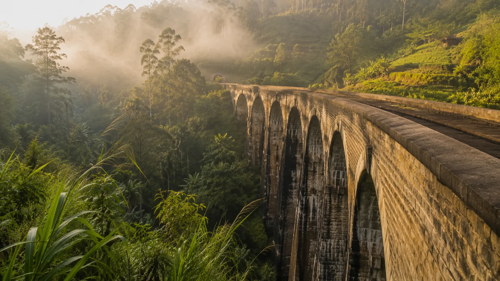
Illustrative imagery for geographical context. It does not indicate that drone operation is permitted at this location.
Last verified 2026-07-19 · CAASL, with Sri Lanka Railways for bridge infrastructure
Drone guidance for Ella: the Nine Arch Bridge as active railway infrastructure, crowded viewpoints, tea estates, terrain and weather in the hills.
By the Sri Lanka Drone Editorial Team · Last reviewed 19 July 2026
Quick answer
Ella has no airport or military base at its doorstep, which makes it feel like easy drone country, but the famous subjects carry their own limits. The Nine Arch Bridge is active railway infrastructure with trains passing through the day and crowds gathered at every viewpoint, and the rule against overflying people applies in full. Tea estates are private working land, and hill-country terrain, wind and fast-moving cloud make visual line of sight harder to keep than on the coast. The standard registration, clearance and approval framework applies, with the zone map checked for exact coordinates.
- Responsible authority
- CAASL, with Sri Lanka Railways for bridge infrastructure
- Who this applies to
- Photographers and visitors flying around Ella, the Nine Arch Bridge and the surrounding hills.
- Verification status
- verified against official source
- Last verified
- 19 July 2026
- Last reviewed
- 19 July 2026
The bridge is infrastructure first
The Nine Arch Bridge is a working piece of the Badulla railway line, not a prop. Trains cross it throughout the day, people walk the tracks despite the risks, and the viewpoints above the curve are rarely empty. Between the prohibition on overflying people, the good sense of staying clear of operating railways and the sheer density of visitors, a compliant flight here demands early morning timing, careful positioning away from the crowds and honest judgement about whether it can be done safely at all.
Flying in hill-country conditions
Ella's valleys funnel wind, and cloud can roll over Little Adam's Peak and Ella Rock in minutes. Keeping the drone in sight across a valley is harder than it looks, and the altitude limit is measured above ground level, which on a steep slope changes constantly. Plan conservative flights, watch the weather windows around dawn, and land early rather than late.
Tea estates and private land
The green terraces that make the area photogenic are working estates. Taking off from or flying low over estate land without permission is a trespass and privacy problem before it is an aviation one; ask the estate office first, and respect a no.
Frequently asked questions
Can I fly a drone at the Nine Arch Bridge?
Only with the standard approvals, away from the crowds and the trains, and realistically only at quiet times of day. Overflying the people on and around the bridge is not permitted.
Do I need permission for tea estate flights?
Yes, from the estate as landowner, in addition to the standard regulatory approvals.
Is Ella inside any restricted zone?
Check the CAASL Drone Zone Map for the exact coordinates before flying; the hill country contains reservoirs, infrastructure and protected areas that appear on the map.
Spotted outdated or incorrect information? Suggest a correction.