Drone Height Limit in Sri Lanka
Last verified 2026-07-19 · Civil Aviation Authority of Sri Lanka (CAASL)
What height limits apply to drones in Sri Lanka, how altitude conditions are set through CAASL operation approvals, and why the limit can vary by location.
By the Sri Lanka Drone Editorial Team · Last reviewed 19 July 2026
Quick answer
Sri Lanka does not rely on a single universal altitude figure that applies everywhere. Maximum operating height is governed by CAASL's implementing standards and by the conditions attached to each operation approval, and secondary sources commonly cite a limit of 150 feet, about 45 metres, in uncontrolled airspace. Because the applicable limit depends on the airspace, the location and your approval conditions, always follow the altitude stated in your CAASL approval.
- Responsible authority
- Civil Aviation Authority of Sri Lanka (CAASL)
- Who this applies to
- All drone operators in Sri Lanka.
- Verification status
- needs official confirmation
- Last verified
- 19 July 2026
- Last reviewed
- 19 July 2026
How height limits work in Sri Lanka
Drone altitude in Sri Lanka is controlled through CAASL's implementing standards for unmanned aircraft and through the conditions attached to each individual operation approval. When CAASL approves a flight, the approval defines where and under what conditions the operation may take place. The altitude condition in that approval is the limit that legally applies to your flight.
Multiple secondary sources report a general ceiling of 150 feet, approximately 45 metres, for drone operations in uncontrolled airspace. Sri Lanka Drone has not yet confirmed a single published universal figure directly in a current CAASL document, so this number should be treated as indicative until confirmed in your approval or with CAASL.
Status: the commonly cited 45 m figure requires confirmation against current CAASL implementing standards. Follow your approval conditions.
Airspace classes and airports
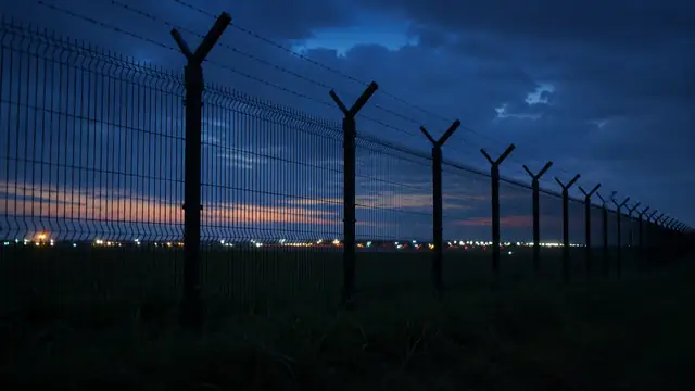
Operating in controlled airspace, or in the vicinity of an airport or helipad, requires prior authorisation from air traffic control in addition to the standard approval process. Around international airports such as Bandaranaike International Airport near Negombo and Mattala Rajapaksa International Airport near Hambantota, drone activity is tightly restricted. The CAASL Drone Zone Map is the official reference for restricted, authorisation and warning areas.
Practical guidance
Request the altitude you actually need when applying for operation approval, and do not exceed the altitude stated in the approval. Keep the drone within visual line of sight, which in practice also constrains altitude. If your project genuinely requires higher altitudes, for example for mapping or inspection work, raise this explicitly with CAASL during the application process rather than assuming a general limit.
Frequently asked questions
What is the maximum drone altitude in Sri Lanka?
The binding limit is the altitude condition in your CAASL operation approval. Secondary sources commonly cite 150 ft (about 45 m) in uncontrolled airspace, but this figure should be confirmed with CAASL or through your approval conditions.
Can I fly higher with permission?
Higher altitudes may be possible where CAASL approves them for a specific operation, for example professional mapping. Request the required altitude in your application and follow the conditions in the approval.
Does the height limit apply near airports?
Near airports the situation is stricter, not looser. Operations near airports and in controlled airspace require air traffic control authorisation and may be prohibited entirely. Check the CAASL Drone Zone Map before planning.
Spotted outdated or incorrect information? Suggest a correction.