Flying a Drone in Nuwara Eliya: What You Need to Know
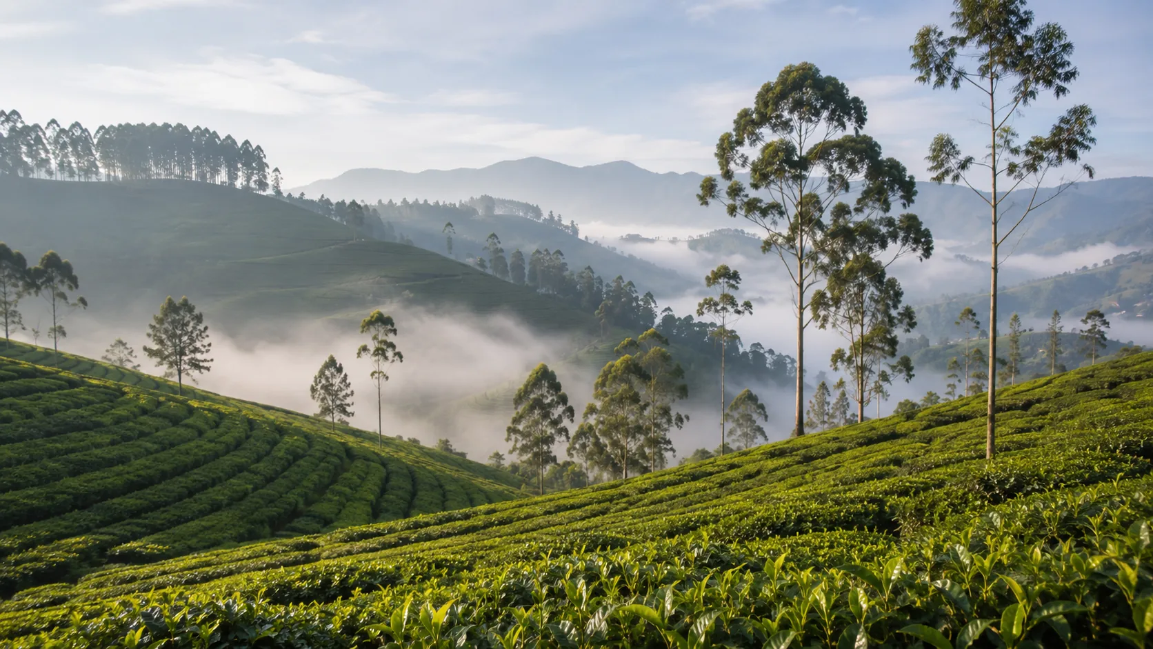
Illustrative imagery for geographical context. It does not indicate that drone operation is permitted at this location.
Last verified 2026-07-19 · CAASL, with estates as landowners and the DWC for Horton Plains
Drone guidance for Nuwara Eliya: flying at nearly two kilometres of elevation, tea estates as private land, Gregory Lake crowds and Horton Plains nearby.
By the Sri Lanka Drone Editorial Team · Last reviewed 19 July 2026
Quick answer
Nuwara Eliya sits close to 1,900 metres above sea level, and the altitude is the first practical consideration: thinner air reduces lift and cold mornings drain batteries faster, so expect shorter, more conservative flights than at the coast. The tea estates that define the landscape are private working land requiring the estate's permission, Gregory Lake and the town centre draw crowds, and Horton Plains National Park on the plateau above is Department of Wildlife Conservation territory where drone use should not be assumed. The standard framework applies, with the zone map checked for exact coordinates.
- Responsible authority
- CAASL, with estates as landowners and the DWC for Horton Plains
- Who this applies to
- Operators and visitors flying around Nuwara Eliya, the tea country and the plateau.
- Verification status
- verified against official source
- Last verified
- 19 July 2026
- Last reviewed
- 19 July 2026
Flying at elevation changes the physics
At nearly two kilometres above sea level, air density is meaningfully lower than at the coast: motors work harder for the same lift, wind gusts hit harder relative to available power, and cold dawn temperatures cut battery capacity. None of this changes the rules, but it changes the margins; plan shorter flights, keep reserves generous and let the aircraft warm up before committing to distance.
Tea country is working land
The manicured rows around Nuwara Eliya belong to estates whose pluckers are at work through the morning. Flying over workers engages the rule on people, and taking off from estate land without asking is trespass. The estate office can usually say yes or no quickly; ask first and respect the answer.
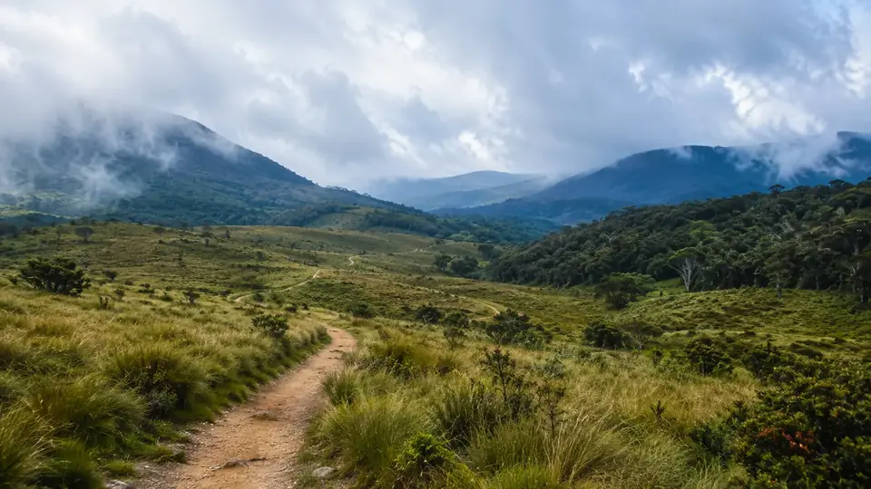
Horton Plains and the protected plateau
Horton Plains, with World's End and its cloud-forest grasslands, is a national park under the Department of Wildlife Conservation. Drone use in national parks requires departmental permission, and the park's silence is part of what visitors come for. Do not carry a drone up expecting to launch at World's End.
Frequently asked questions
Does altitude affect my drone in Nuwara Eliya?
Yes. Thinner air reduces lift and cold reduces battery capacity, so expect noticeably shorter safe flight times than at sea level.
Can I fly over the tea estates?
Only with the estate's permission as landowner, in addition to the standard approvals, and never over the workers.
Is Horton Plains open to drones?
It is a national park; drone use requires DWC permission and should not be assumed to be allowed.
Spotted outdated or incorrect information? Suggest a correction.