Flying a Drone at Wilpattu: What You Need to Know
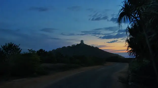
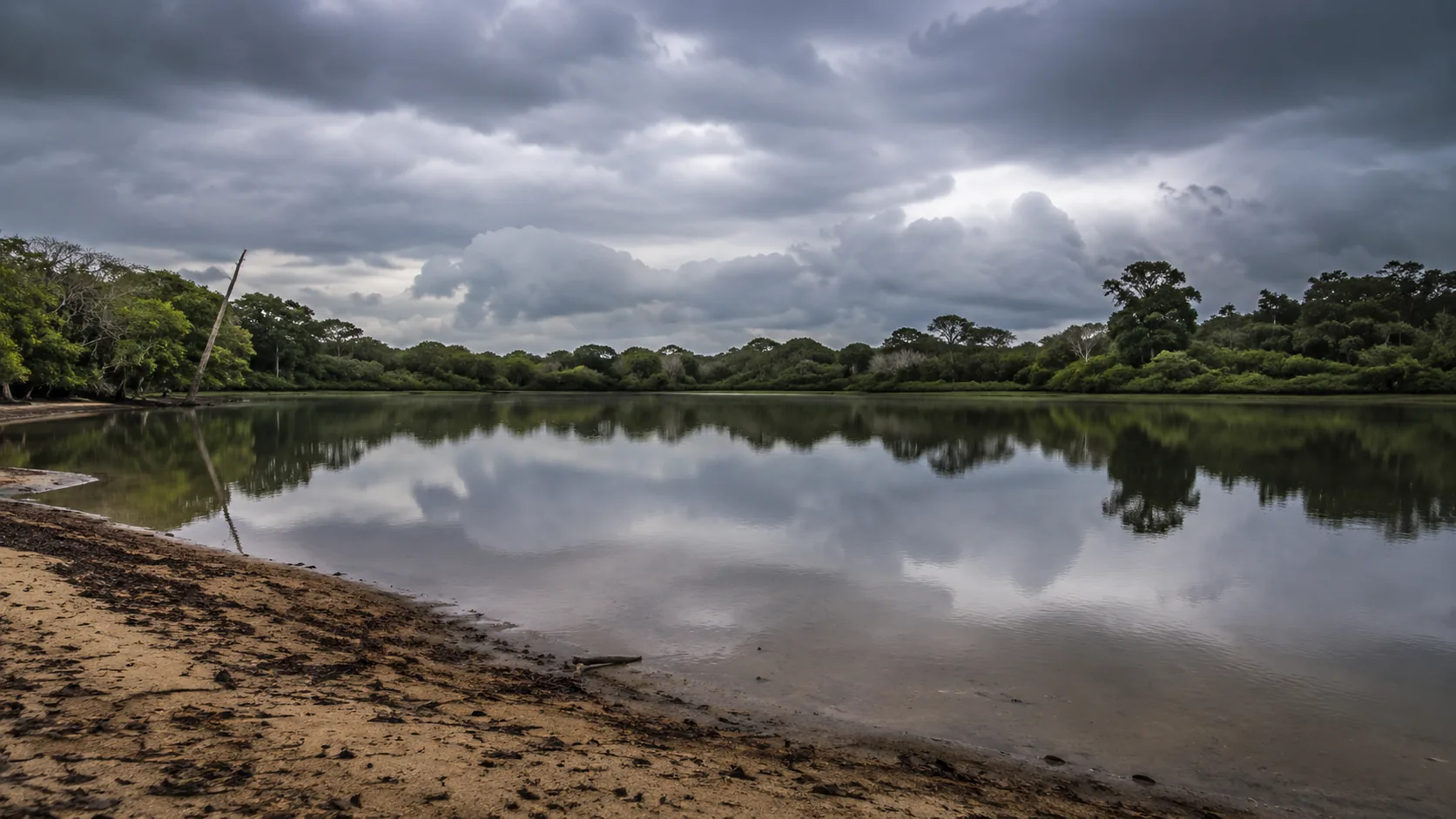
Illustrative imagery for geographical context. It does not indicate that drone operation is permitted at this location.
Last verified 2026-07-19 · Department of Wildlife Conservation, with CAASL and the MOD
Drone guidance for Wilpattu: Sri Lanka's largest national park, its villu lakes and leopards, and the practicalities of the remote northwest.
By the Sri Lanka Drone Editorial Team · Last reviewed 19 July 2026
Quick answer
Wilpattu is Sri Lanka's largest national park, a Department of Wildlife Conservation reserve of forest and natural villu lakes, and the national-park principle applies in full: drone use requires the department's permission and recreational flying should be assumed not allowed. The park's leopards and sloth bears are shy forest animals for whom aerial disturbance is a real cost, and the remoteness that makes Wilpattu special also means a drone lost over the forest is simply gone. Outside the boundary, the standard framework and the zone map govern, with the Kalpitiya peninsula's considerations beginning across the bay.
- Responsible authority
- Department of Wildlife Conservation, with CAASL and the MOD
- Who this applies to
- Safari visitors and operators around Wilpattu National Park and the northwest coast.
- Verification status
- verified against official source
- Last verified
- 19 July 2026
- Last reviewed
- 19 July 2026
A forest park built around water
Wilpattu's character comes from its villus, natural lakes scattered through dense dry-zone forest, where animals come to drink and birdlife gathers. Unlike open-country parks, the wildlife here is glimpsed rather than surveyed, and that shyness is precisely why the Department of Wildlife Conservation's permission requirement matters: forest animals do not habituate to machines overhead.
The practical case against flying here
Even setting rules aside, Wilpattu punishes aerial ambition. The forest canopy swallows GPS-lost aircraft, the villus are protected habitat rather than landing zones, and the park's size means recovery of anything that goes down is unrealistic. Fly nothing you are not prepared to lose, which inside a national park should mean flying nothing at all.
Outside the park
The coast road north, the Puttalam lagoon country and the approaches to Mannar fall under the standard framework; check the zone map for the exact coordinates, and note that the northwest includes security-relevant coastline where the MOD clearance will be assessed carefully.
Frequently asked questions
Is drone use allowed in Wilpattu?
It requires Department of Wildlife Conservation permission; assume recreational flying is not allowed.
Why is Wilpattu different from open parks?
Its animals are shy forest dwellers glimpsed at the villus; aerial disturbance carries a higher cost and the canopy makes lost drones unrecoverable.
What applies outside the boundary?
The standard framework and the zone map, with careful security review along the northwest coastline.
Spotted outdated or incorrect information? Suggest a correction.